

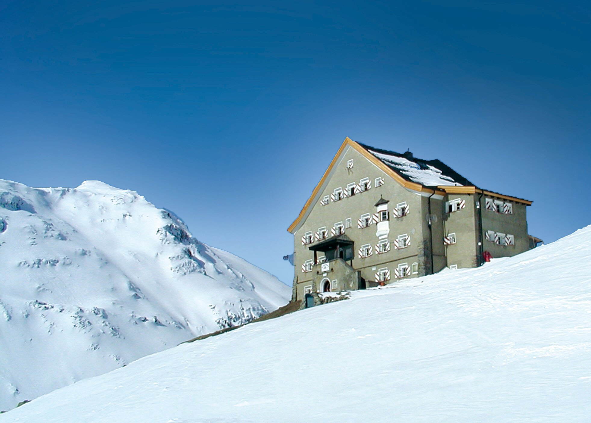

Long Distance Ski Touring
Ötztal ski tour over the highest peaks of the Ötztal Alps
Ötztal
Top
Hard
Key facts
21:25 h
Duration
78.25 km
Length
7230 m
Ascent
7248 m
Descent
3,733 m
Max. altitude
1,894 m
Min. altitude
Best Season
Jan
Feb
Mar
Apr
May
Jun
Jul
Aug
Sep
Oct
Nov
Dec
Map & elevation profile
The Tour
OBERGURGL -> Ötztaler Skirunde -> VENT
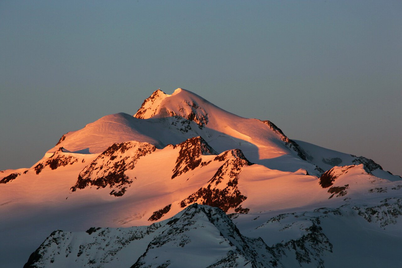
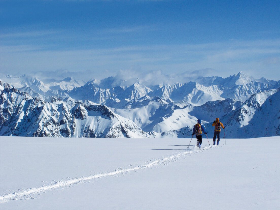
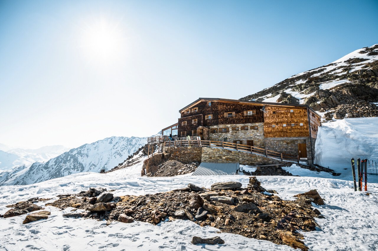
A breathtaking multi-day ski tour over the mightiest peaks in the heart of the Eastern Alps! The Ötztal round tour is an absolute MUST for every experienced ski tourer. With a grandiose view of the picturesque landscape from South Tyrol to the mighty Zugspitze, refreshment stops in managed huts and extravagant routes, the Ötztal round tour proves to be a real adventure!
Author's tip
- > Schalfkogel (3.537 m)
- > Schalfkogel (3.537 m)
–> Similaun (3.606 m)
–> Finailspitze (3.514 m)
–> Weißkugel (3.739 m)
–> Fluchtkogel (3.497m)
–> Wildspitze (3.768 m)
Important:
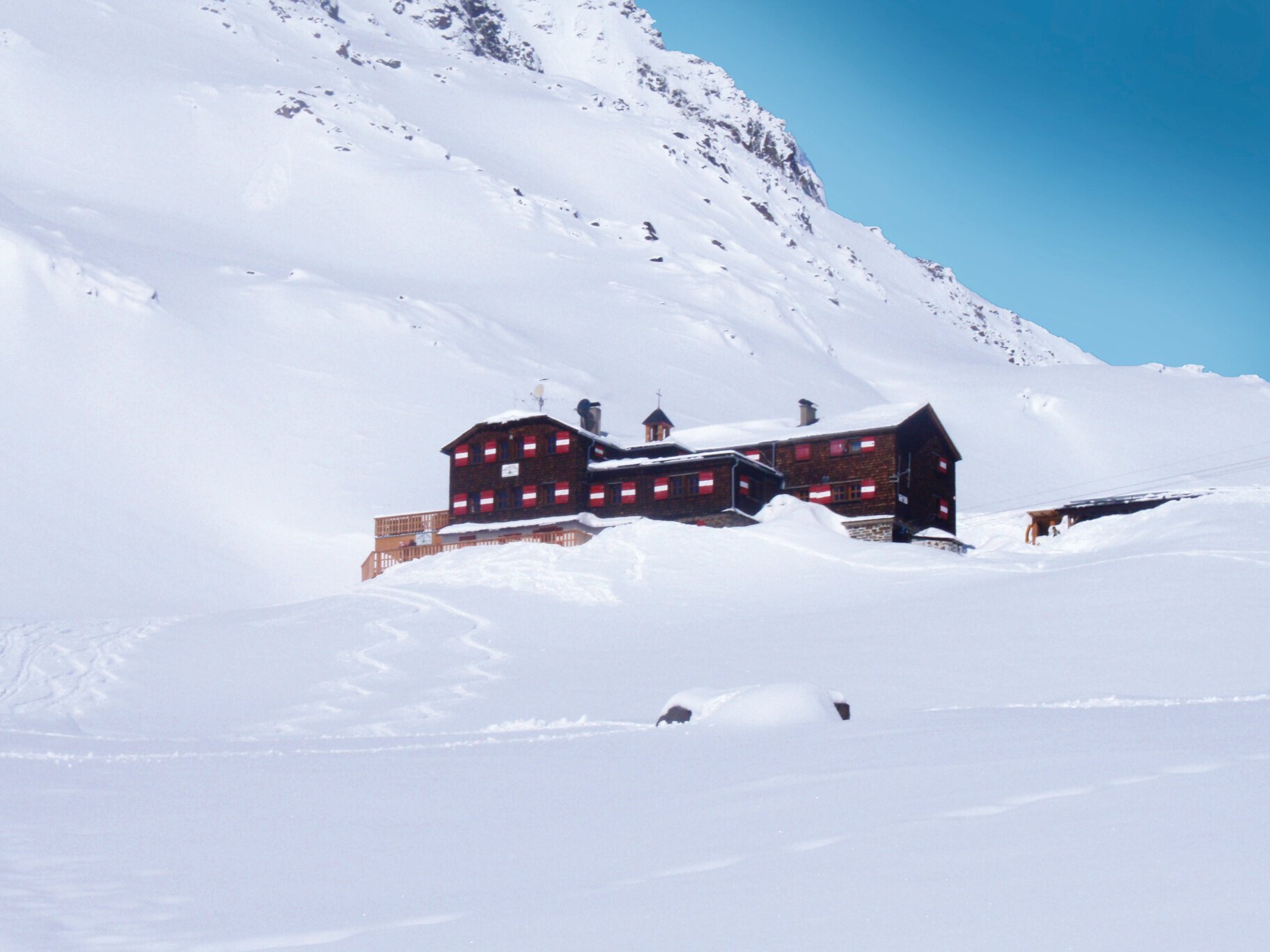
Vernagthütte closed during winter 2026/27
(Due to the flood damage caused by the summer 2026 floods.)
The winter accommodation (winter room) remains open.
Online reservation:
www.vernagthuette.de
Regions & Places
Austria (Country)
Italy (Country)
Tyrol (Province)
South Tyrol (Province)
Bezirk Imst (District)
Bezirk Landeck (District)
Gurgl (Tourism area)
Ötztal (Tourism area)
Vent (Tourism area)
Tyrolean Oberland (Tourism area)
Vinschgau (Tourism area)
Pitztal (Tourism area)
Merano and surroundings (Tourism area)
Kaunertal (Commune)
Schnals (Commune)
Sankt Leonhard im Pitztal (Commune)
Gemeinde Sölden (Commune)
Passo Resia (Commune)
Mals (Commune)
Mountain areas
Alps (Mountain area)
Ötztal Alps (Mountain area)
Modified at 03.11.2026 · Created at 10.11.2017
Details
Characteristics
Linear route
Multi-stage route
Scenic
Refreshment stops available
Geological highlights
Summit route
Way types
Safety guidelines
Please pay attention to the current weather- & avalanche report: https://www.oetztal.com/de/winter.html &
https://avalanche-report/albina-web/bulletin/2019-01-07?lang=de
Additional information
Information and booking: Mountainguide Office Vent www.bergfuehrer-vent.at
Recommended maps
Kompass #042 | Inneres Ötztal und Pitztal, Gurgler Tal, Venter Tal | 1:25.000
Kompass #042 | Inneres Ötztal und Pitztal, Gurgler Tal, Venter Tal | 1:25.000
Kompass #43 | Ötztaler Alpen, Ötztal, Pitztal | 1:50.000
Freytag&Bernd WK 251 | Ötztal, Pitztal, Kaunertal, Wildspitze | 1:25:000
Kompass | Bike- & Wanderkarte Ötztal | 1:35.000
Directions
A breathtaking multi-day ski tour over the mightiest peaks in the heart of the Eastern Alps! The Ötztal round tour is an absolute MUST for every experienced ski tourer. With a grandiose view of the picturesque landscape from South Tyrol to the mighty Zugspitze, refreshment stops in managed huts and extravagant routes, the Ötztal round tour proves to be a real adventure!
Arrival
Public transit
Enjoy a both comfortable and relaxing train ride to the train station in Ötztal Bahnhof. You get off the train in ÖTZTAL Bahnhof where you change to a public bus or local taxi. The current bus schedule can be found at: http://fahrplan.vvt.at
Starting point
Obergurgl
Getting there
Vent is located in the western part of Austria in the state TYROL, in a southern side valley of the Inn valley - the ÖTZTAL. For your arrival by car, you can plan the best route from your home town with the route planner online at https://www.google.at/maps
Parking
The following parking options are available in the mountaineering village Vent
In wintertime only at the chairlift
Current information
Wednesday, 04.11.
A transition to generally
sunny weather
sunny weather
Morning
3 °C
0%
Rainfall risk
Afternoon
12 °C
0%
Rainfall risk
Thursday, 05.11.
Stable autumn weather
A frosty start to the day
A frosty start to the day
Morning
3 °C
0%
Rainfall risk
Afternoon
14 °C
0%
Rainfall risk
The tour is within these protected areas.
Naturpark Ötztal (Protected area)
Kaunergrat (Protected area)
Texelgruppe (Protected area)
Ötztaler Alpen (Protected area)
Ruhegebiet Ötztaler Alpen (Protected area)
Equipment
Appropriate equipment such as breathable suitable outdoor clothes for the weather, wind-, rain-, snow- and sun protection, hat and gloves is for all hikes and tours necessary. Please bring a first-aid box, a mobile phone, a walking map and if there is no hut on the way a snack and enough to drink.