

Ötztaler Urweg
Description
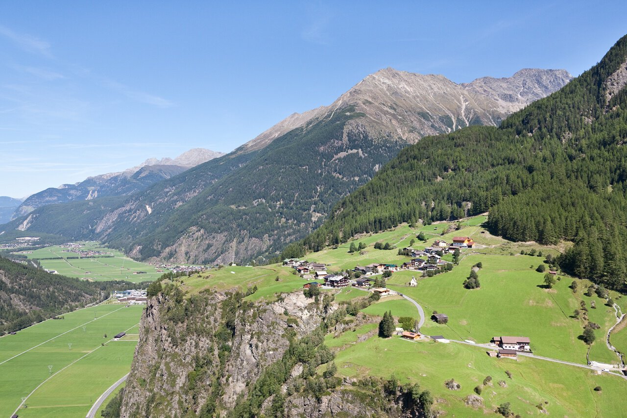
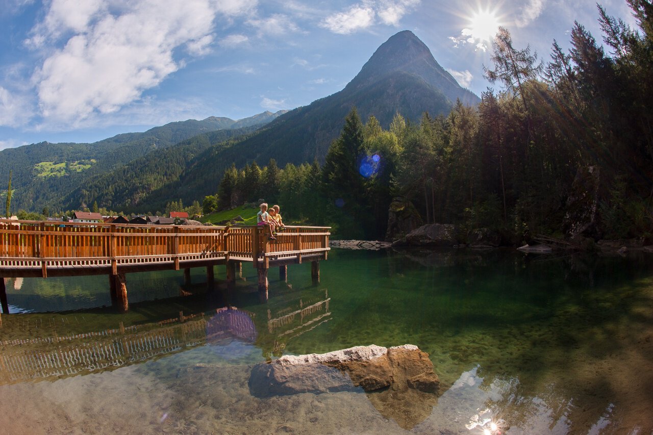
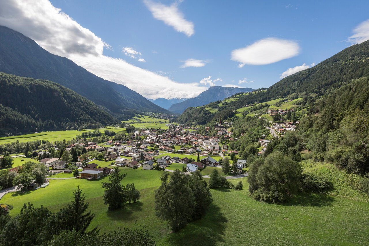
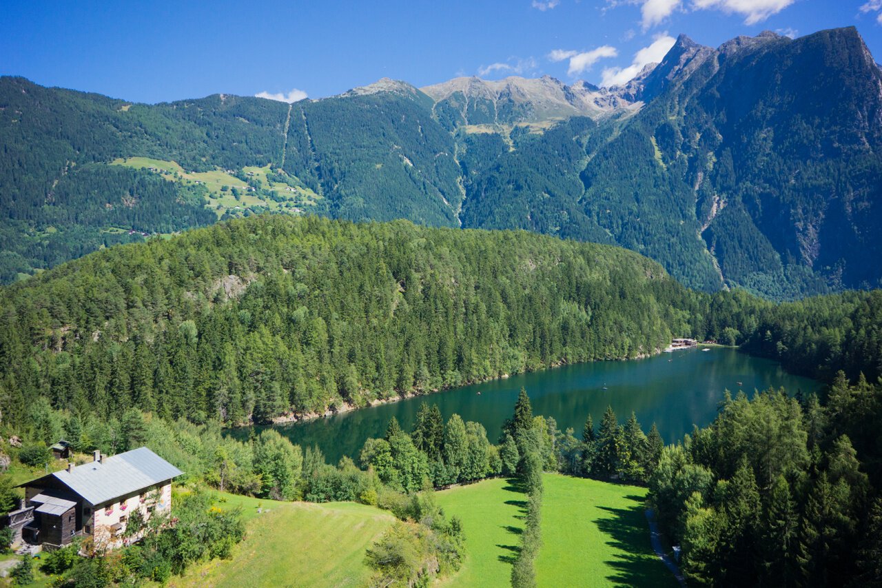
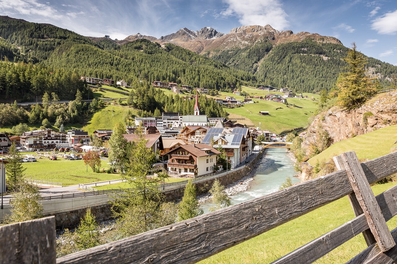
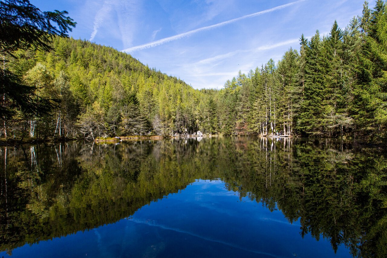
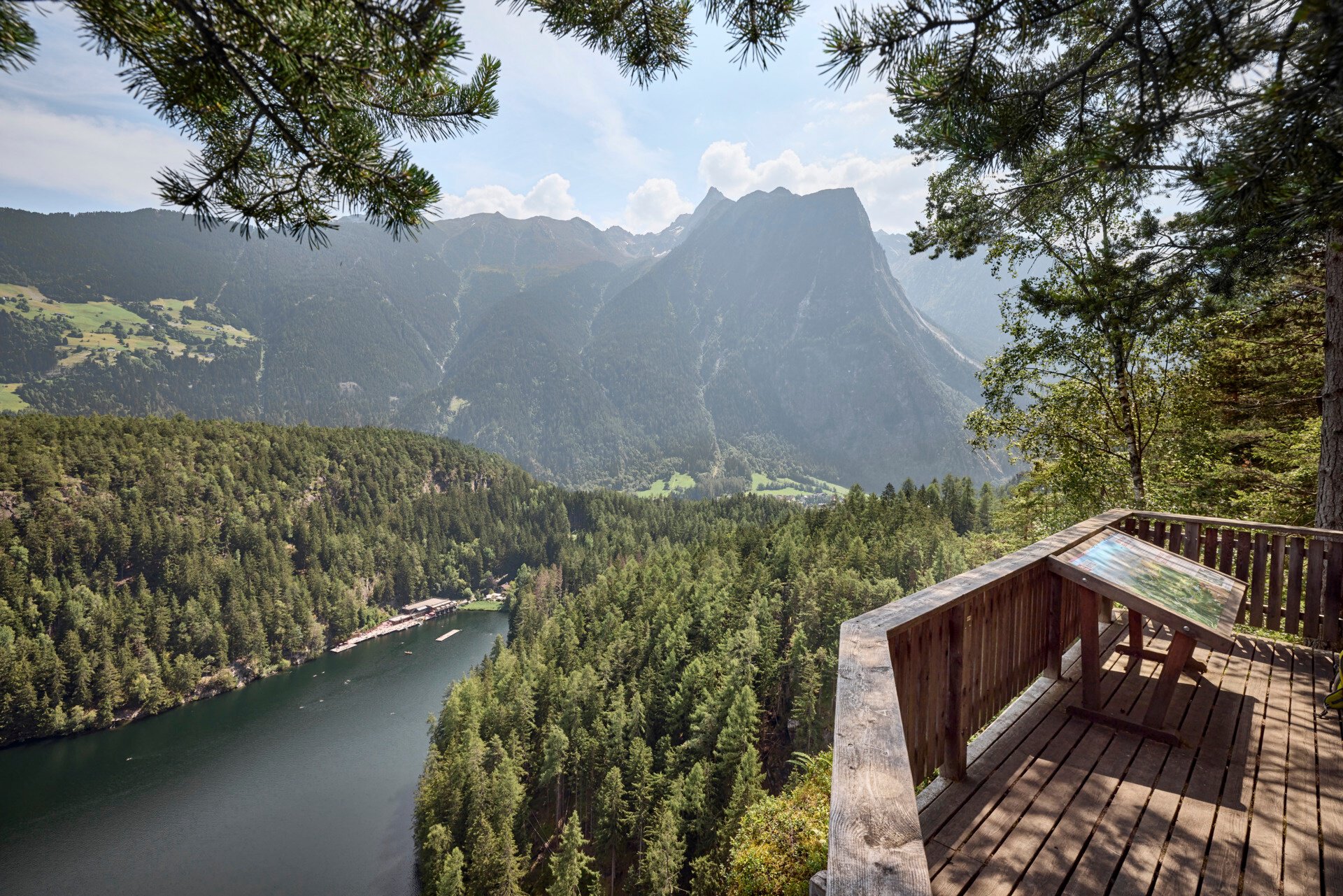
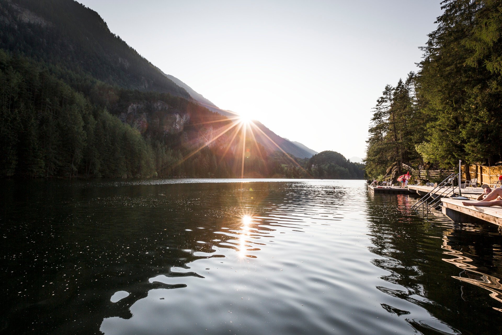
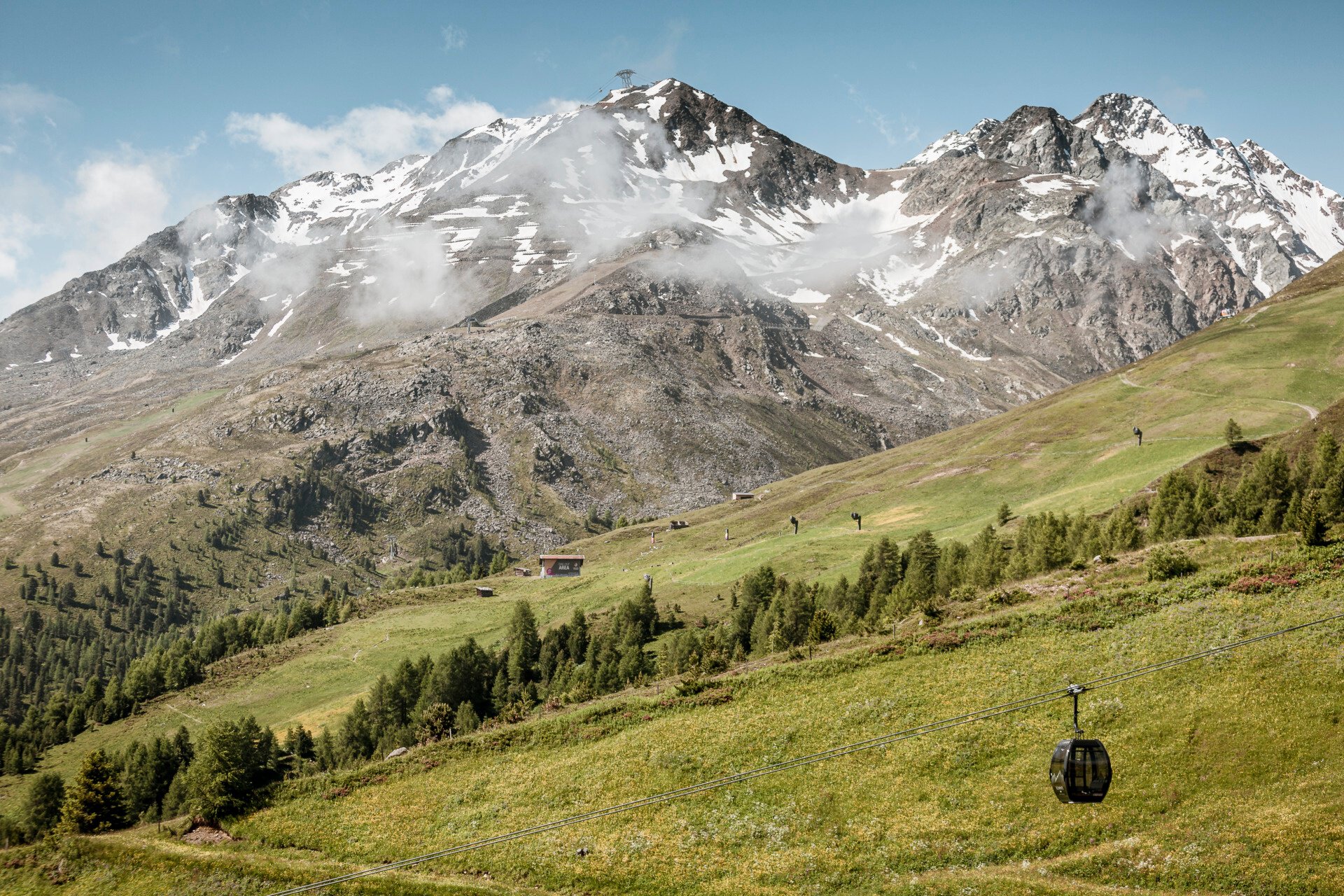
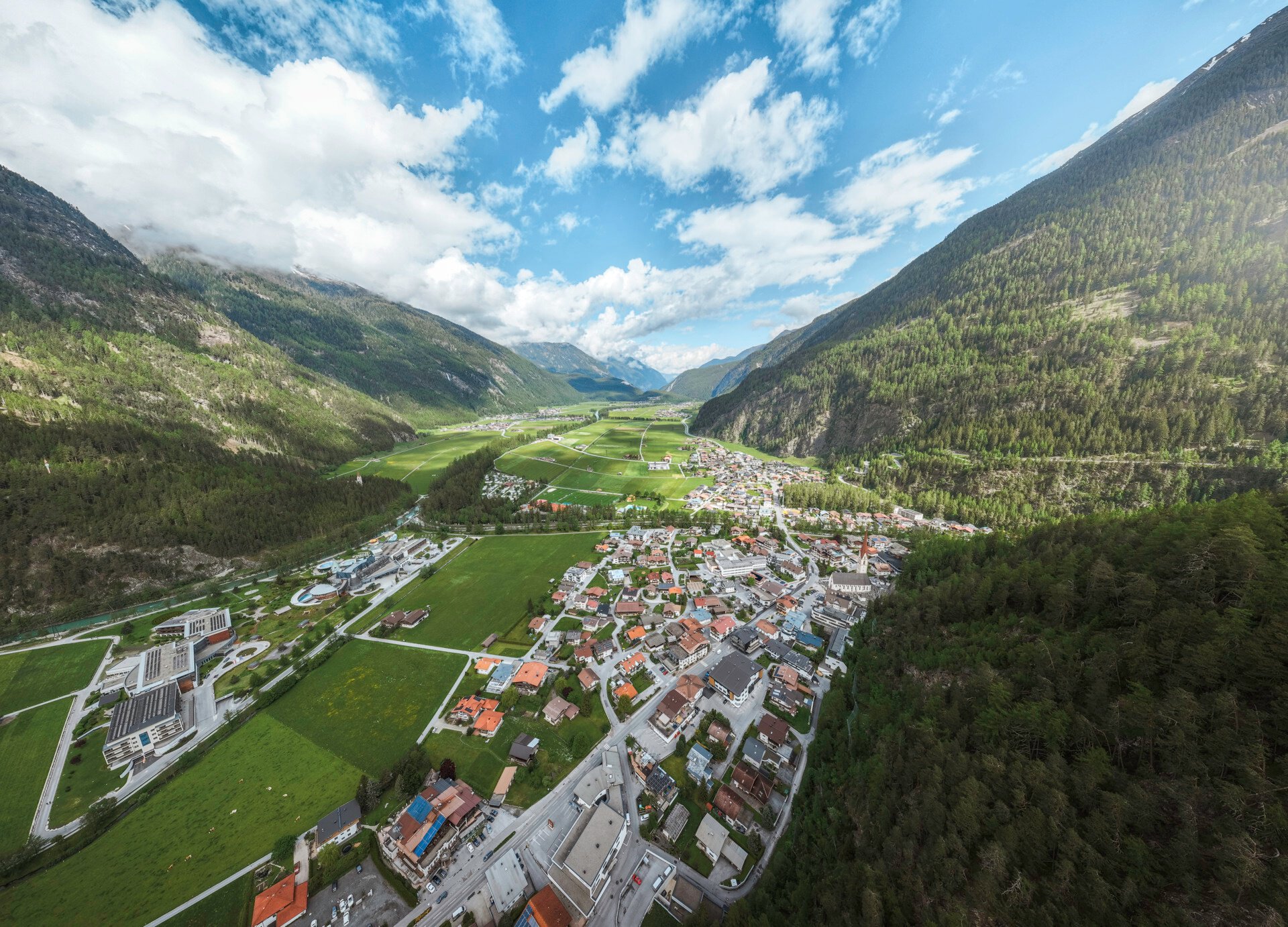
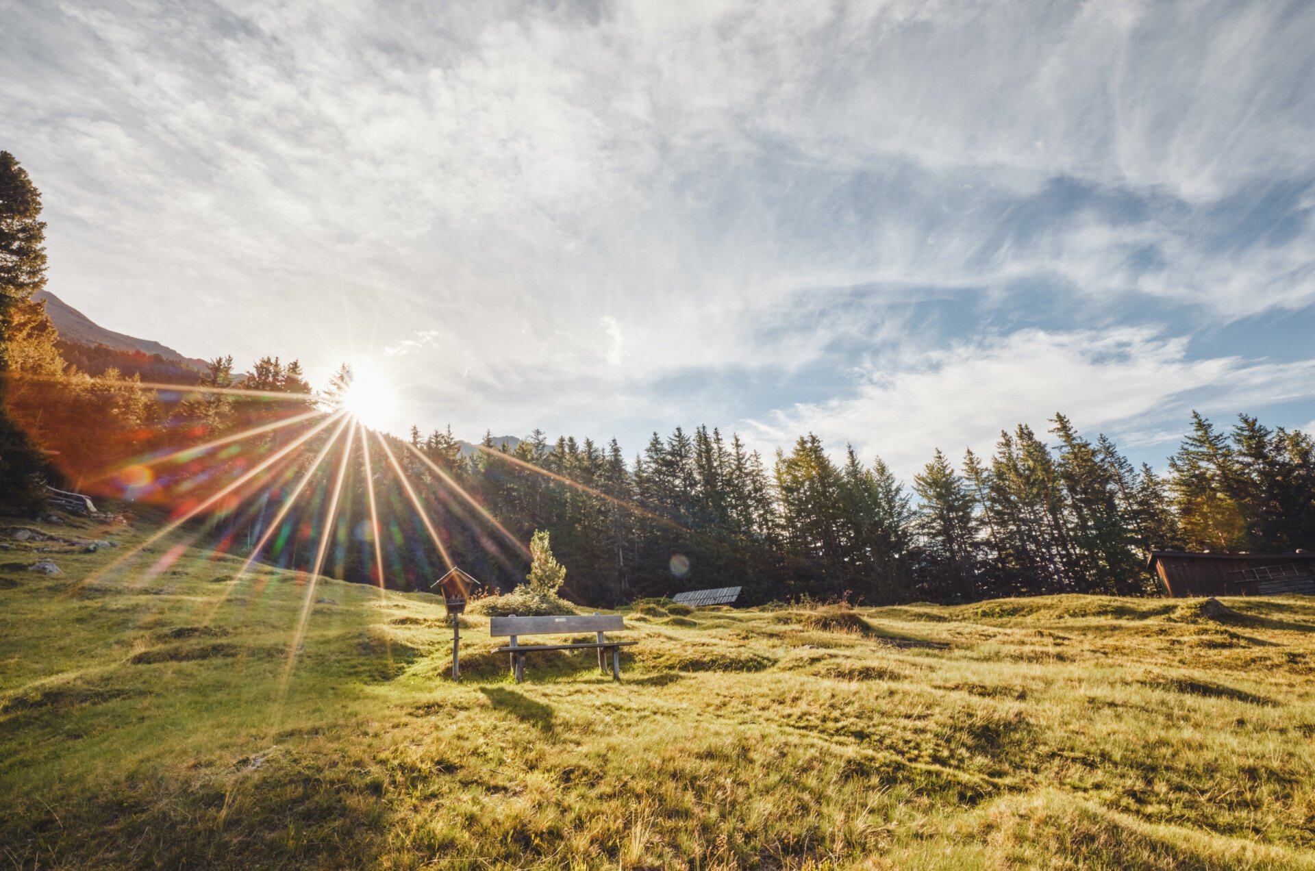
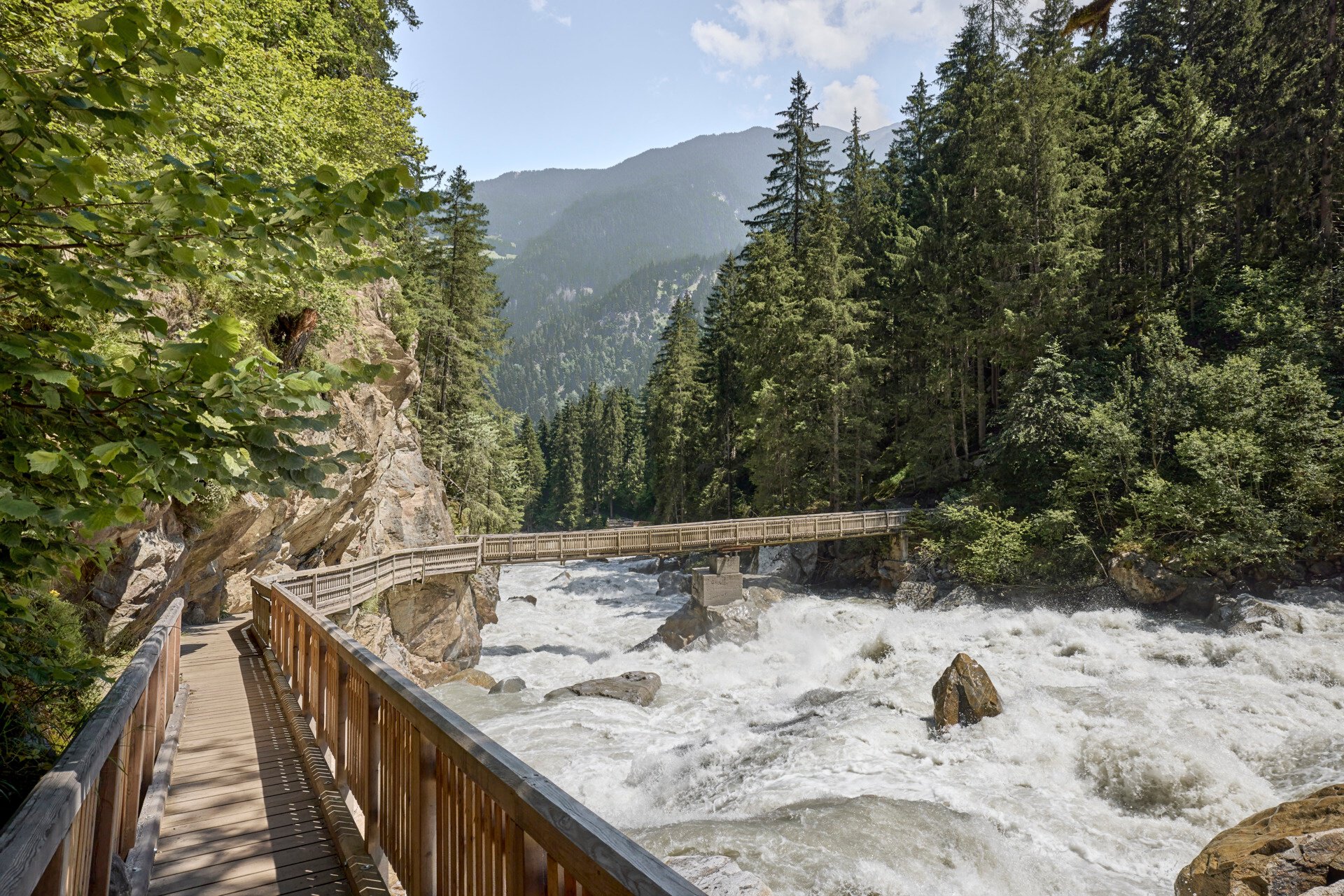
Varied landscapes, impressive rocky landscapes, and gentle alpine meadows invite you to experience culture, cuisine, and unique natural experiences. The Ötztaler Ache with its different faces always comes into focus; the landscape in the Ötztal shows itself in many ways. Sometimes wild and turbulent, then again calm, pristine, and full of silence!
Map & elevation profile
The Tour
Varied landscapes, impressive rocky landscapes, and gentle alpine meadows invite you to experience culture, cuisine, and unique natural experiences. The Ötztaler Ache with its different faces always comes into focus; the landscape in the Ötztal shows itself in many ways. Sometimes wild and turbulent, then again calm, pristine, and full of silence!
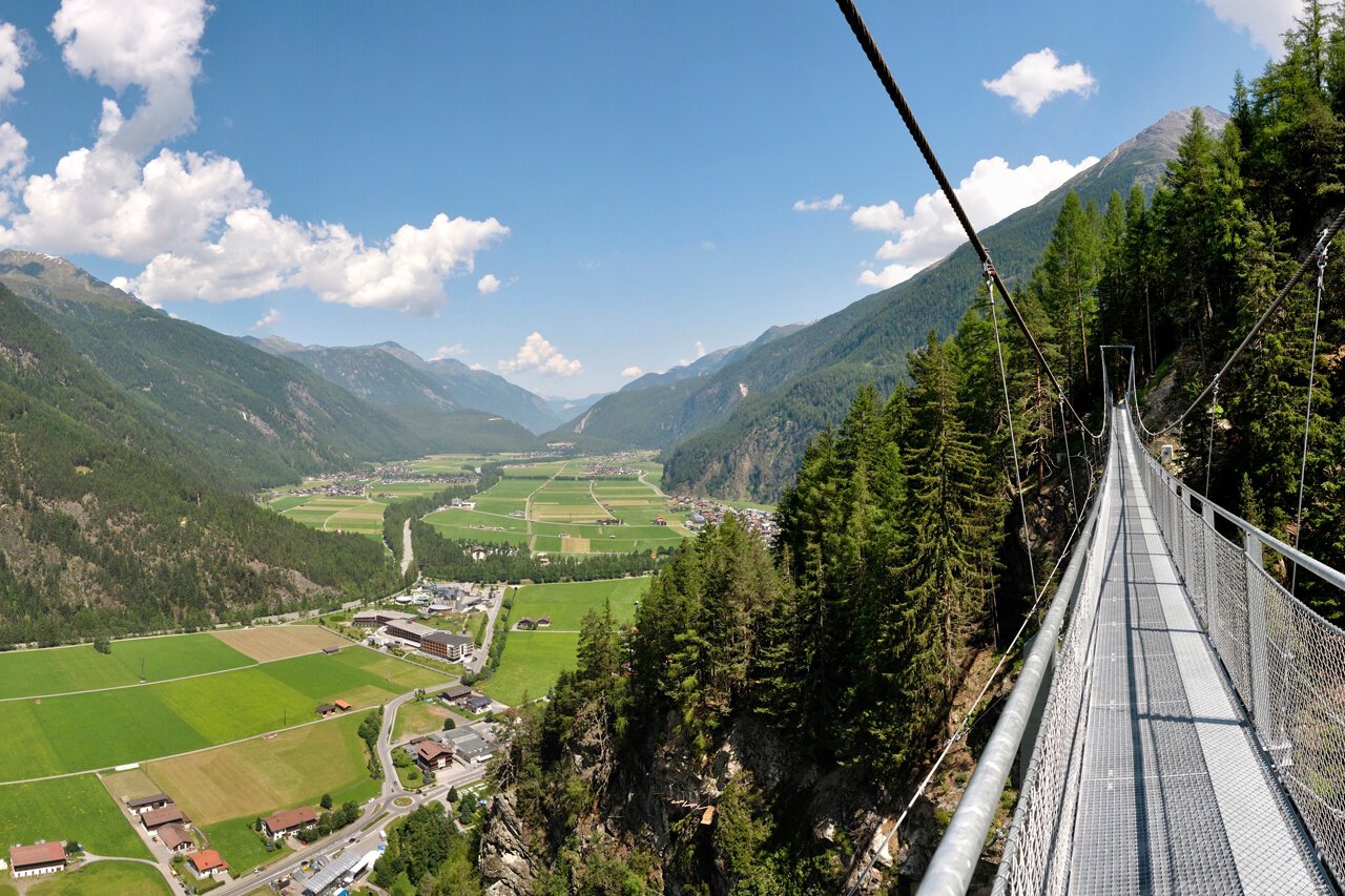
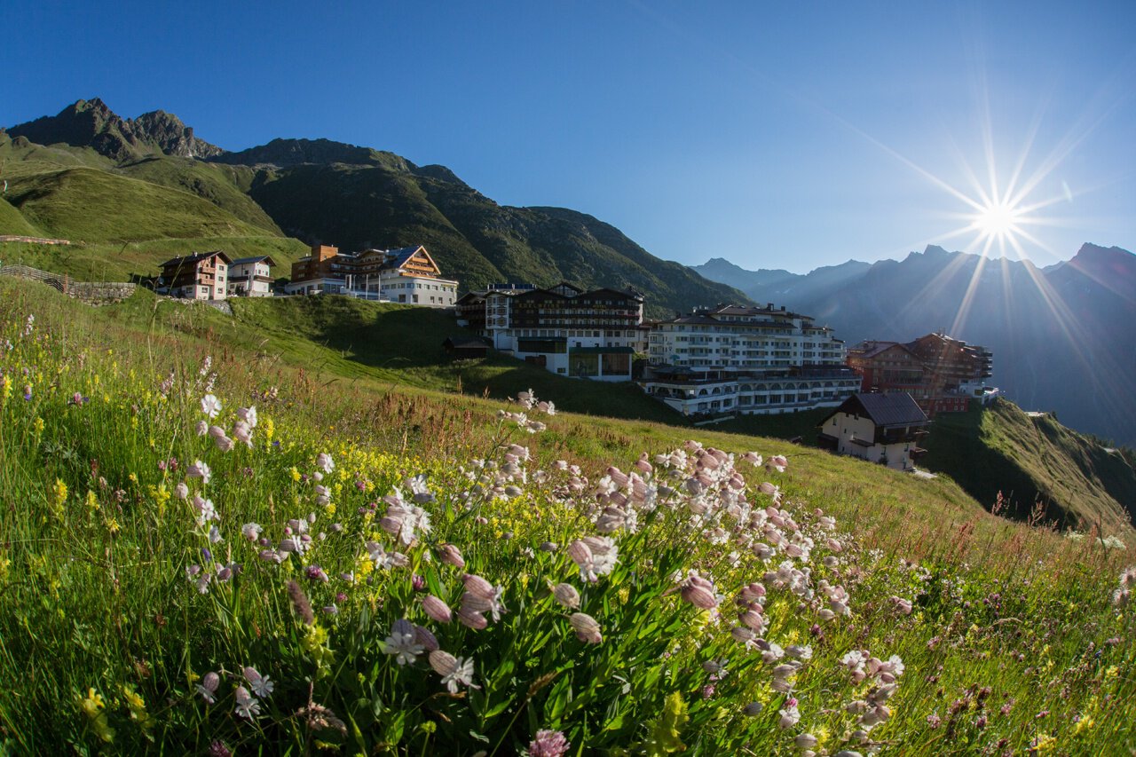
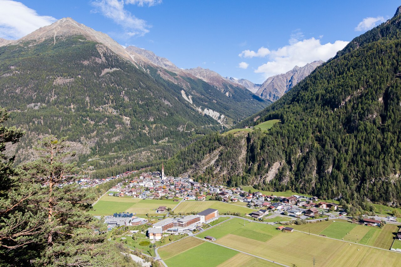
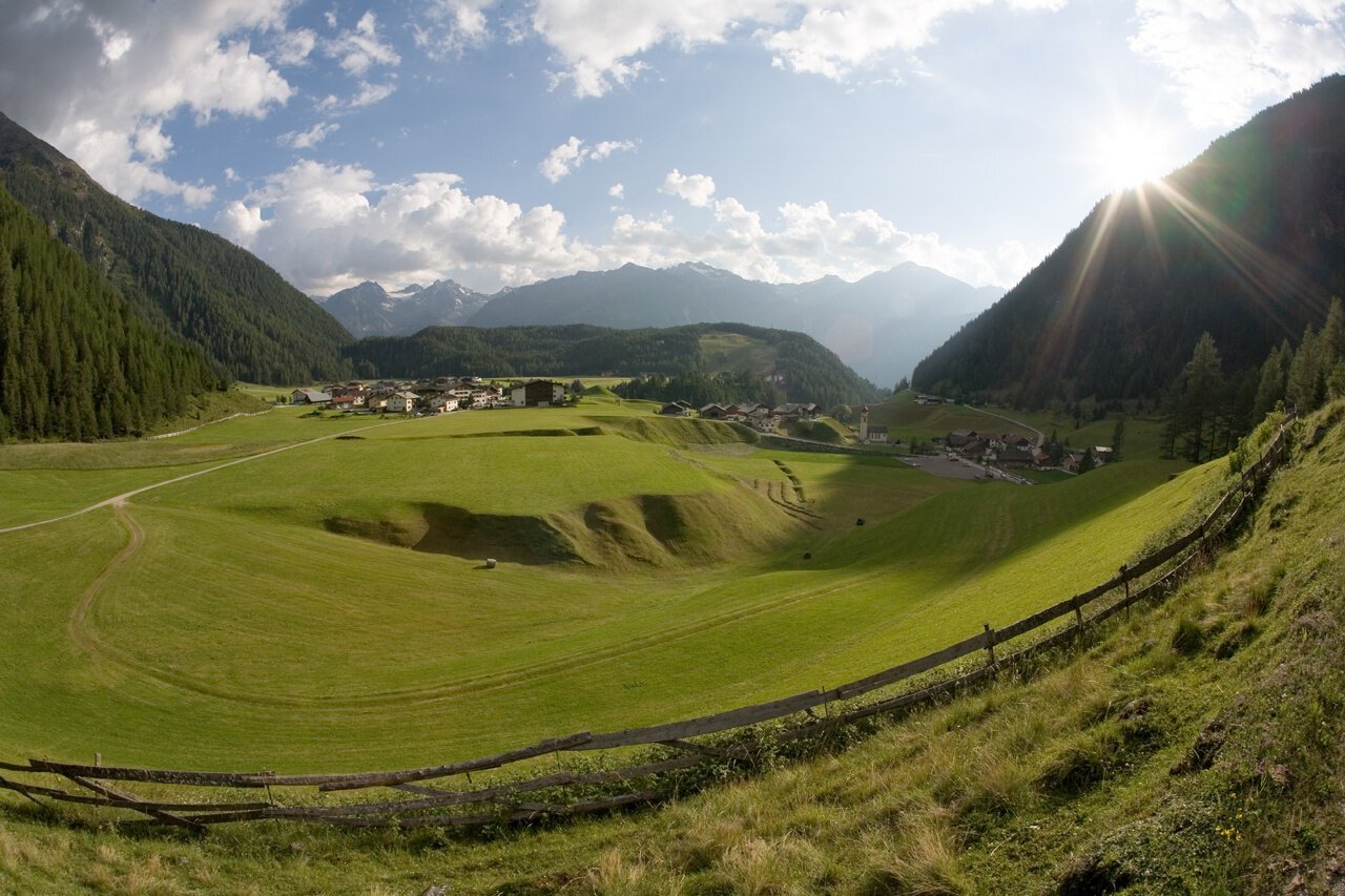
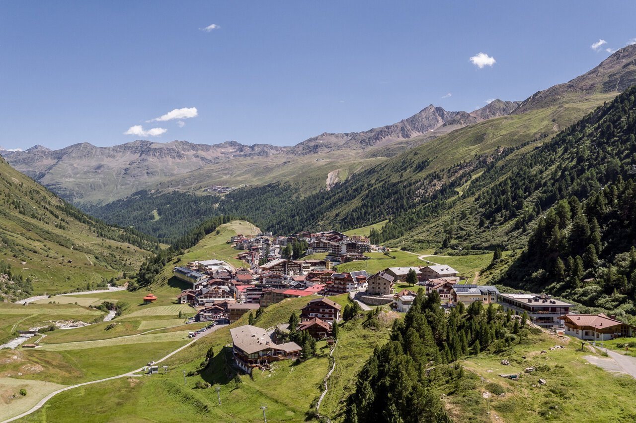
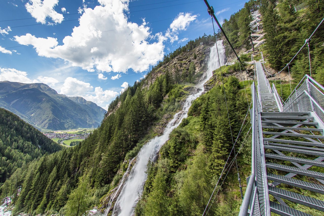
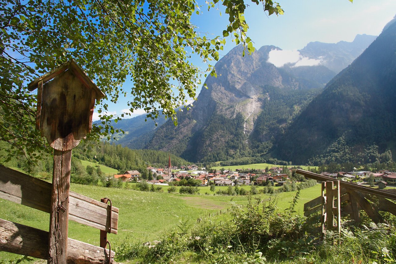
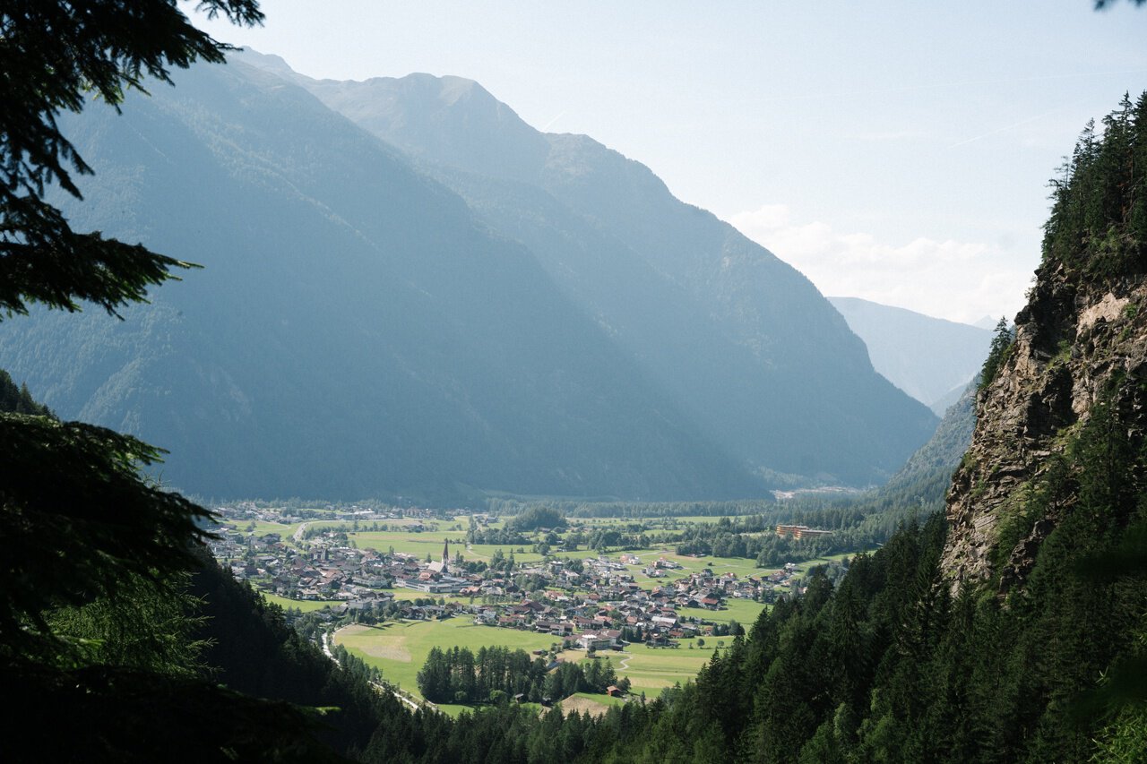
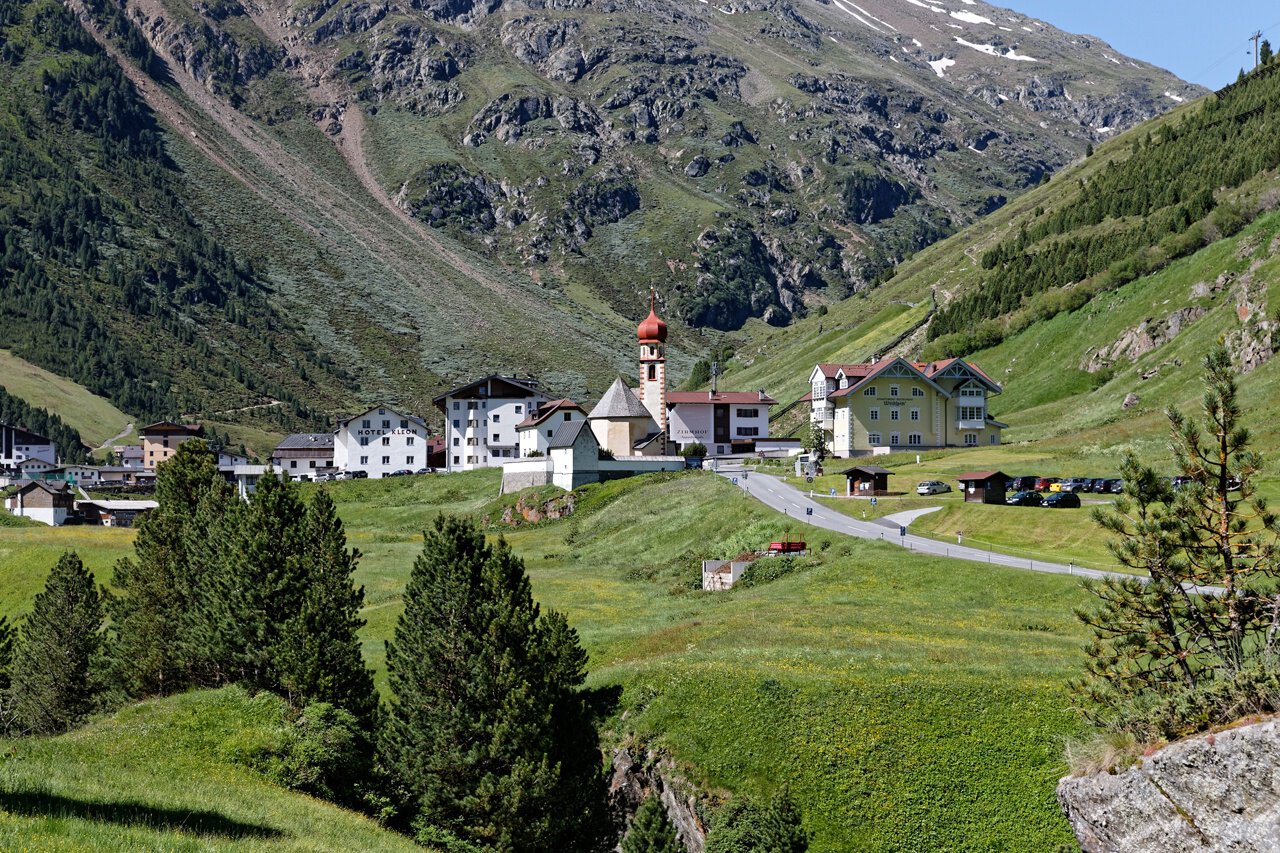
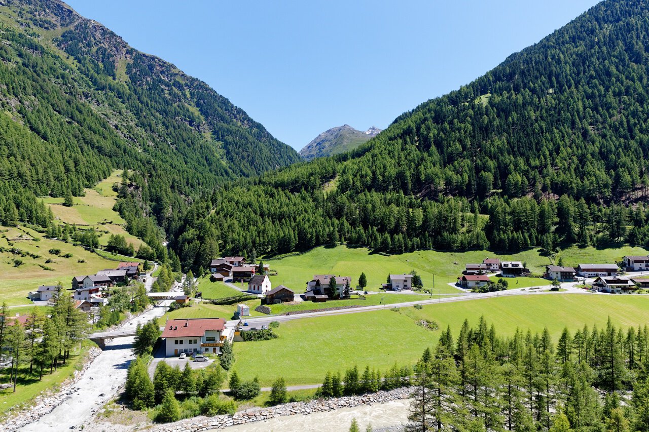
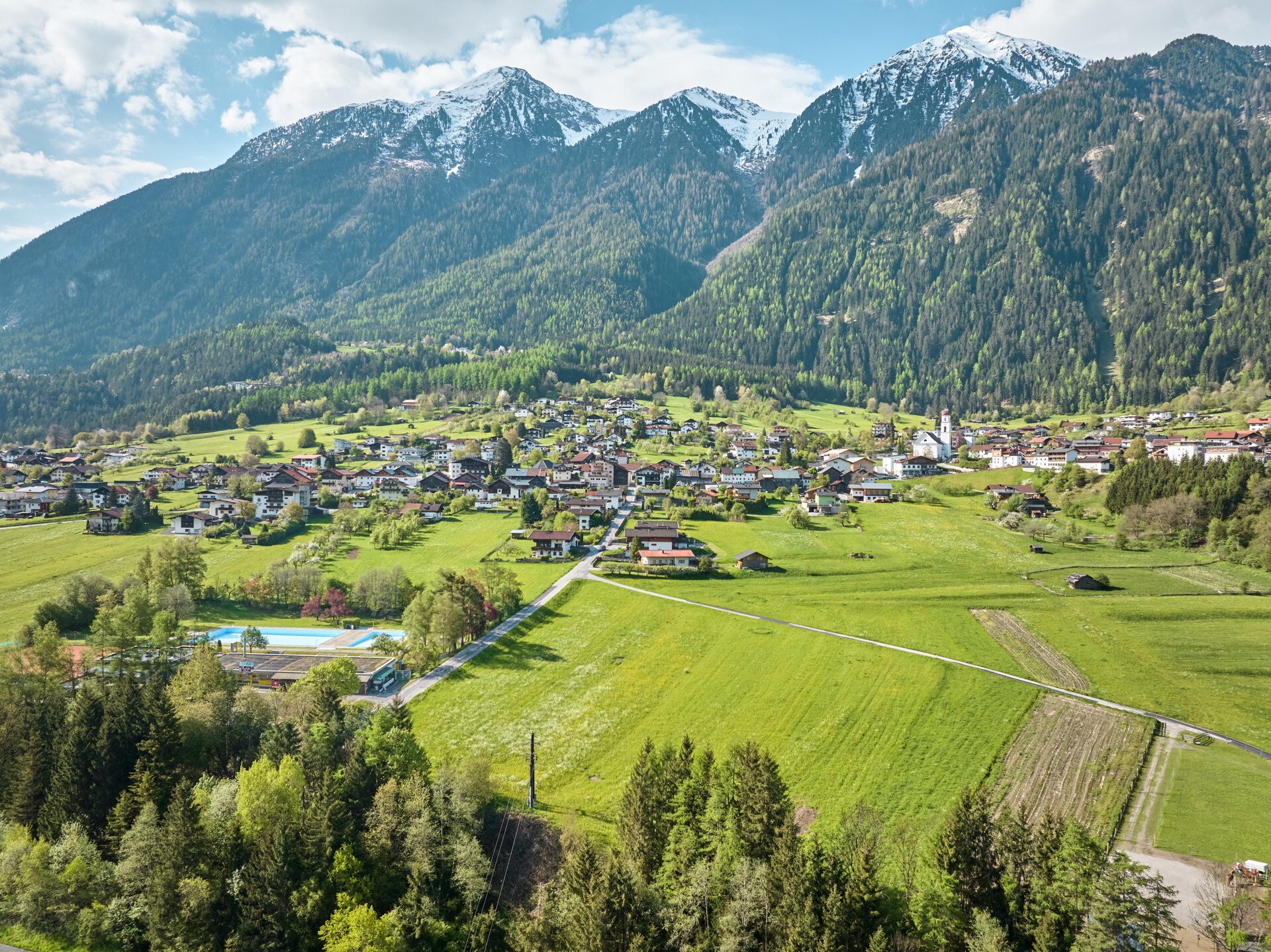
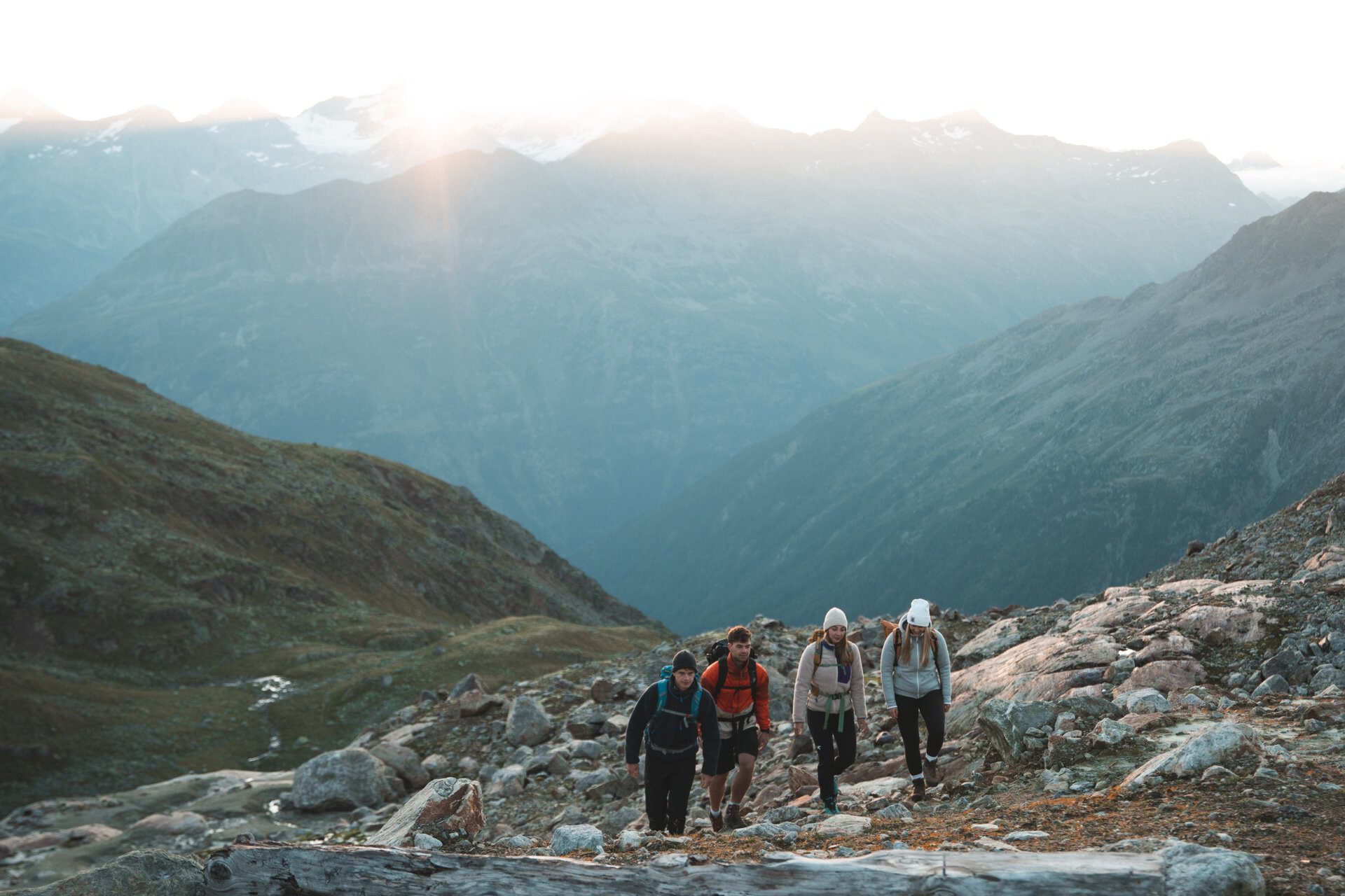
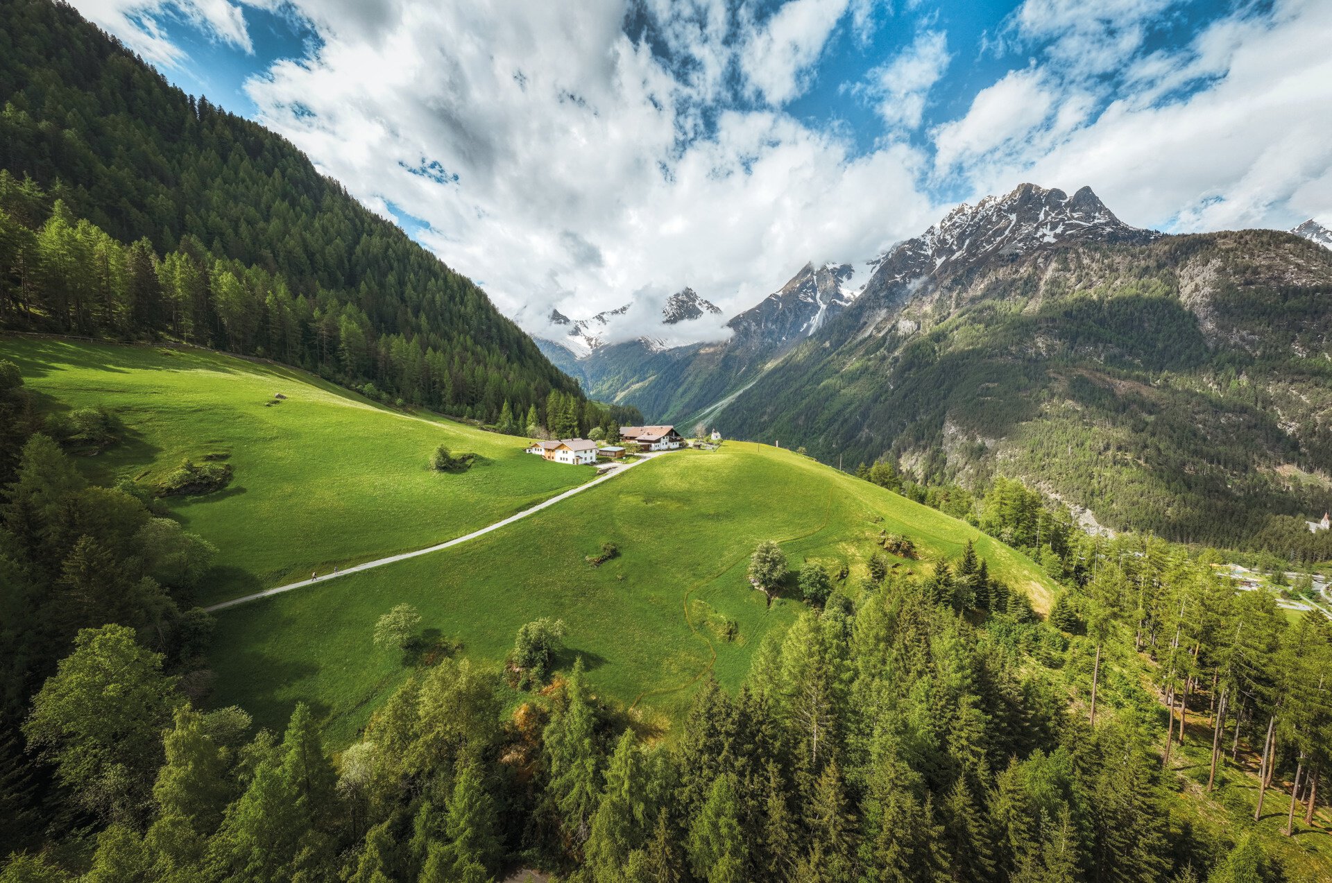
The path leads in 12 stages repeatedly from the valley over rivers and meadows up to scenic highlands. Like a ribbon, it winds back and forth between the villages on the valley floor and the wild romantic mountain villages on the sunny side. From the lower valley start, adorned with sunny yellow meadow flowers, up to Austria’s highest church village at 1,930 m, the path leads into the valley. Deep in the valley, so close to the glaciers, the trail brings you face to face with many mountain giants over 3,000 m, like the Wildspitze or the Similaun, the true stars of the Ötztal. On the return route, you descend again to climatically more favorable locations and fertile soil, where fruit cultivation is practiced. The hiking trail can be started from any village, with sufficient parking spaces available. A good bus network is available for any return transport!
Best season: June – October
Stages 6 + 7: July - September
Regions & Places
Mountain areas
Details
Characteristics
Way types
Safety guidelines
Everything from easy hiking trails to alpine routes is available. More information at the individual stages.
Hiking difficulty
Additional information
More info about hiking in the Ötztal: www.oetztal.com/wandern
Recommended maps
Kompass hiking map (available at the Ötztal Tourism information offices)
Directions
The path leads in 12 stages repeatedly from the valley over rivers and meadows up to scenic highlands. Like a ribbon, it winds back and forth between the villages on the valley floor and the wild romantic mountain villages on the sunny side. From the lower valley start, adorned with sunny yellow meadow flowers, up to Austria's highest church village at 1,930 m, the path leads into the valley. Deep in the valley, so close to the glaciers, the trail brings you face to face with many mountain giants over 3,000 m, like the Wildspitze or the Similaun, the true stars of the Ötztal. On the return route, you descend again to climatically more favorable locations and fertile soil, where fruit cultivation is practiced. The hiking trail can be started from any village, with sufficient parking spaces available. A good bus network is available for any return transport!
Arrival
Public transit
Travel comfortably and safely by train to the Ötztal station. The final stop or exit point is the ÖTZTAL train station. Afterwards, you can conveniently and quickly travel with public transit or local taxi companies through the entire valley to your desired destination.
The current bus schedule is available at: http://fahrplan.vvt.at
Starting point
Getting there
The car journey to the ÖTZTAL. Located in Tyrol, the ÖTZTAL branches off to the south as the longest side valley of the Eastern Alps. Traveling by car takes visitors through the Inn valley to the entrance of the valley and further along the Ötztal. In addition to the toll highway, country roads can also be used. Your trip can be quickly and conveniently planned with the route planner: Route planner: www.google.at/maps
Parking
Parking spaces are indicated at the respective stage.
Current information
Just a few harmless little clouds
harmless cumulus clouds
The tour is within these protected areas.
Equipment
Appropriate equipment such as breathable and weather-appropriate outdoor clothing is required for all hikes and routes. Carrying a first aid kit, a mobile phone, and possibly a hiking map, as well as sufficient provisions for hikes without opportunities to stop for refreshments, is necessary.


