


Walk along the Ötztaler Ache
Map & elevation profile
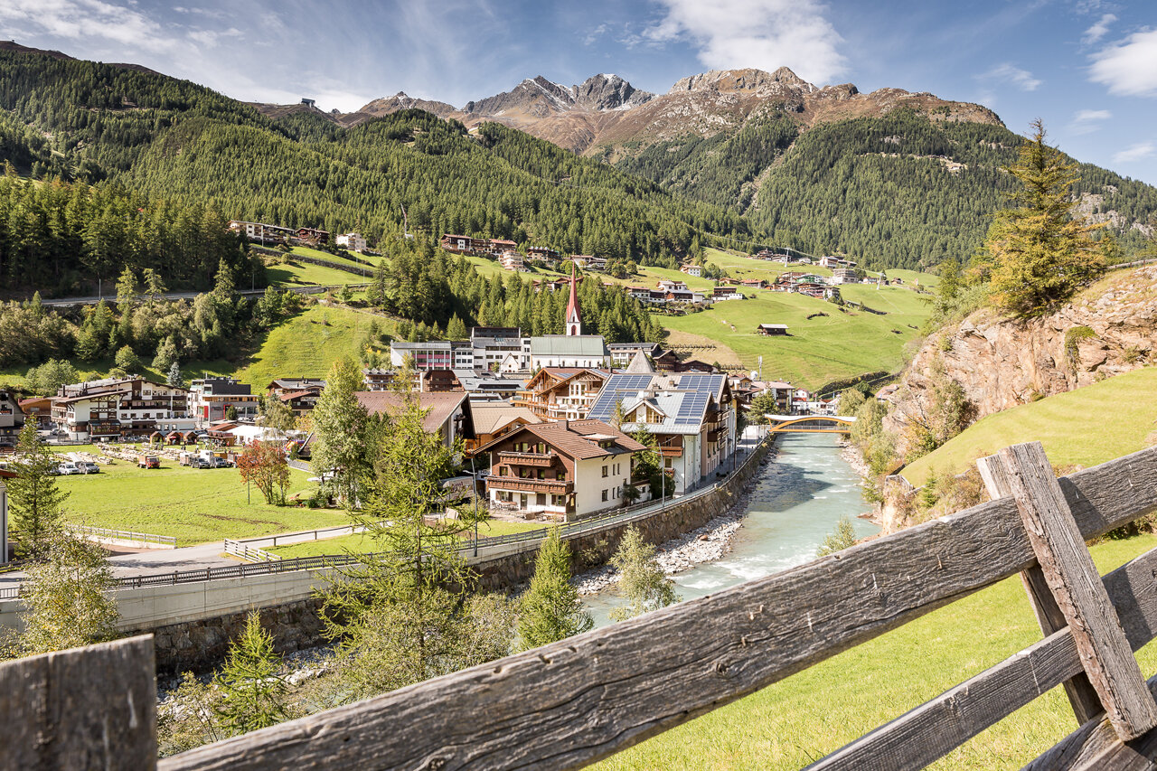
The Tour
Beautiful flat and sunny walk along the Ötztaler Ache.
The benches along the path invite you to pause and relax.
The path is also suitable for a stroller.
Regions & Places
Mountain areas
Details
Characteristics
Way types
Safety guidelines
Easy hiking path; suitable for beginners and walkers.
Please note the current weather report at: https://www.oetztal.com/de/sommer.html
Additional information
More information about hiking in the Ötztal: https://www.oetztal.com/wandern
Recommended literature
Local map of Sölden
Recommended maps
Local map of Sölden
Directions
Beautiful flat and sunny walk along the Ötztaler Ache.
The benches along the path invite you to pause and relax.
The path is also suitable for a stroller.
Arrival
Public transit
Travel comfortably and safely by train to the Ötztal station. The final station or exit point is the ÖTZTAL station. Afterwards, you can conveniently and quickly travel with public line transport or local taxi companies through the entire valley to your desired destination. The current bus schedule is available at: http://fahrplan.vvt.at
Starting point
Getting there
Driving to the ÖTZTAL. Located in Tyrol, the ÖTZTAL branches off to the south as the longest side valley of the Eastern Alps. Traveling by car leads visitors over the Inn Valley to the valley entrance and then along the Ötztal. In addition to the toll motorway, country roads can also be used. Your drive can be quickly and easily planned with the route planner: To the route planner: https://www.google.at/maps
Parking
The following parking options are available in Sölden:
- Postplatz parking lot
- Stiegele parking lot
- Tiered parking lot
- Giggijochbahn + underground car park
- Gaislachkoglbahn + underground car park
- Hochsölden parking lot
- Hochsölden parking garage 1st parking deck
The parking spaces are paid.
For parking over several days (e.g. hut tour):
- Gaislachkoglbahn parking garage, parking ticket either online or directly at the Gaislachkoglbahn ticket office