
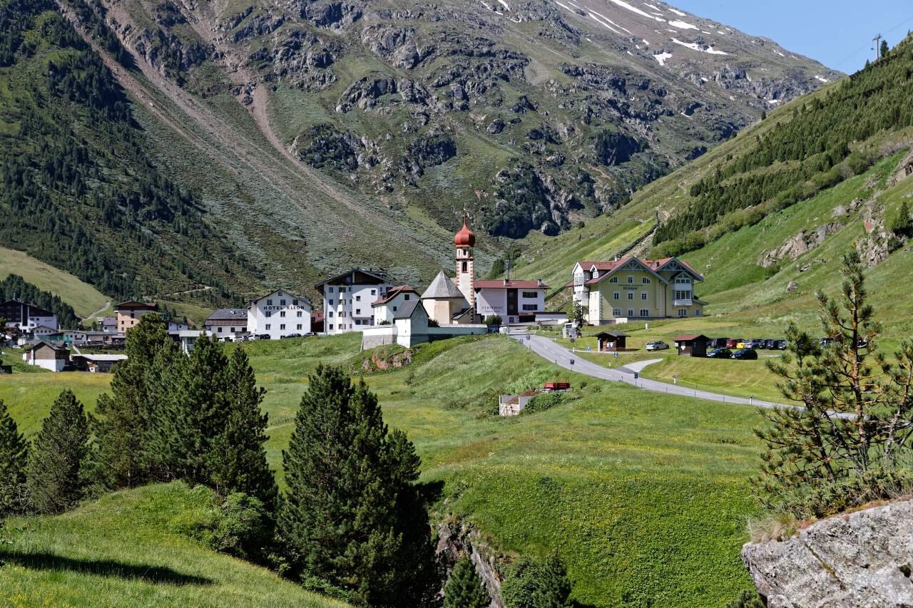
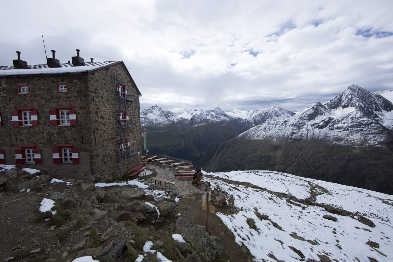
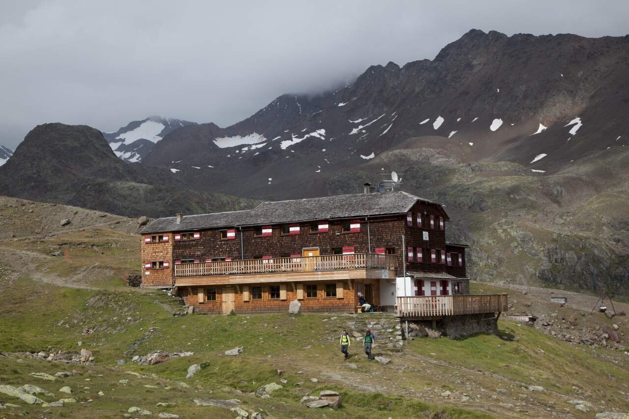

Vent-Wildes Mannle -Breslauer Hut-Vernagt Hut-Guslarspitze-Hochjoch Hospice-Schöne Aussicht-Vent
Description
Map & elevation profile
The Tour
Regions & Places
Mountain areas
Details
Characteristics
Way types
Hiking difficulty
Recommended literature
Recommended maps
Kompass #042 | Inner Ötztal and Pitztal, Gurgler Tal, Venter Tal | 1:25,000
Kompass #042 | Inner Ötztal and Pitztal, Gurgler Tal, Venter Tal | 1:25,000
Kompass #43 | Ötztal Alps, Ötztal, Pitztal | 1:50,000
Freytag&Bernd WK 251 | Ötztal, Pitztal, Kaunertal, Wildspitze | 1:25,000
Kompass | Bike & Hiking map Ötztal | 1:35,000
Arrival
Public transit
Travel comfortably and safely by train to the Ötztal train station. The final stop or exit point is ÖTZTAL station. From there you can conveniently and quickly travel with public transport or local taxi companies through the entire valley to your desired destination! The current bus schedule is available at: http://fahrplan.vvt.at
Starting point
Getting there
Vent is located in western Austria in the state of TYROL, in a southern side valley of the Inn valley - the ÖTZTAL. For your car journey, plan the optimal route from your home with the route planner online: https://www.google.at/maps
Parking
In Vent, the following parking options are available:
In front of the village and at the valley station of the chairlift (paid)
Current information
clear more and more as the day goes on
Frost line at 3,700 metres
The tour is within these protected areas.
Equipment
Wearing hiking equipment such as breathable and weather-appropriate outdoor clothing, ankle-high hiking boots, wind, rain, and sun protection, a hat, and possibly gloves is recommended! It is also important to carry sufficient food, a first aid kit, a mobile phone, and possibly a hiking map.