


Tiefenbachglacier - Mountaineering Village Vent
Map & elevation profile
The Tour
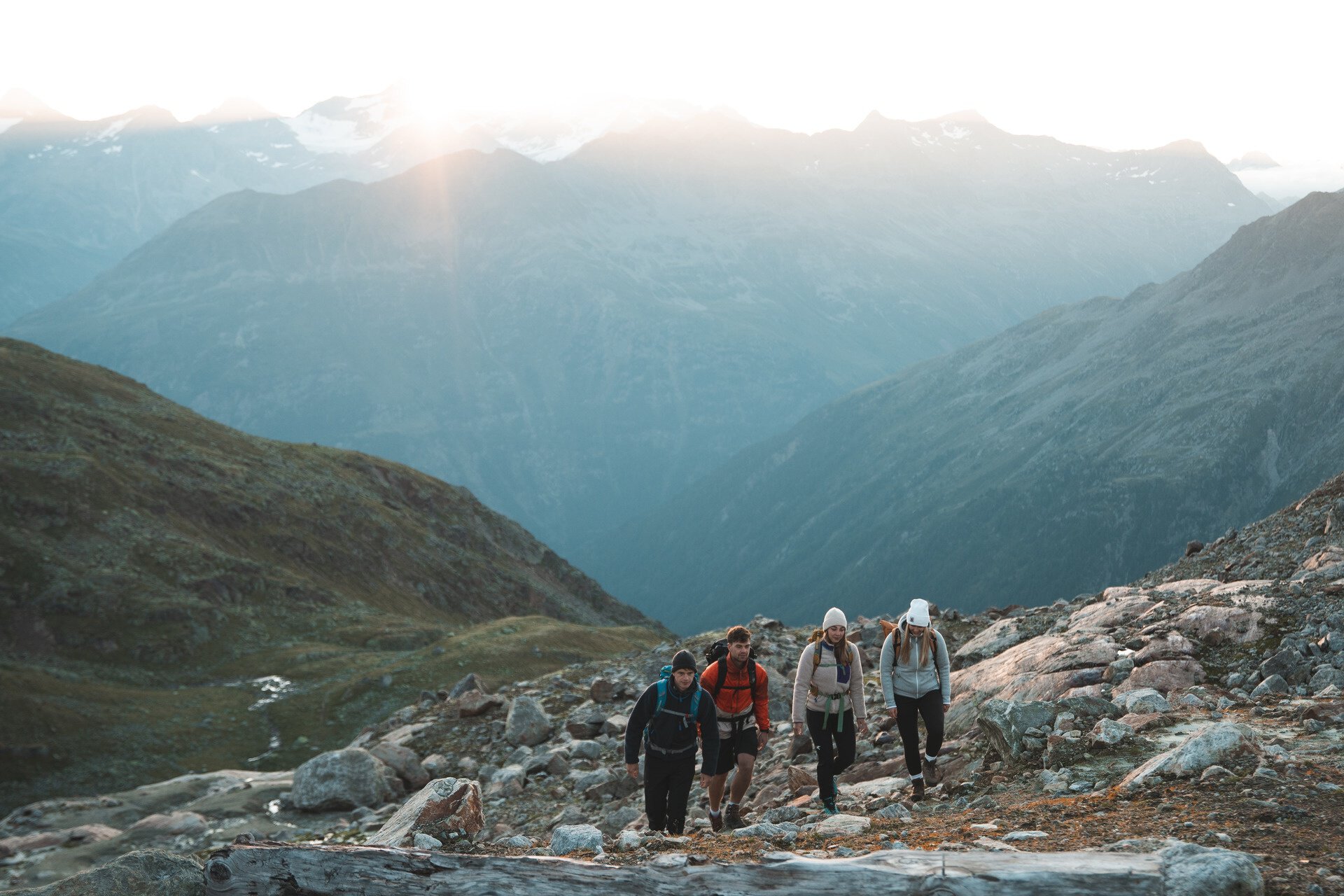
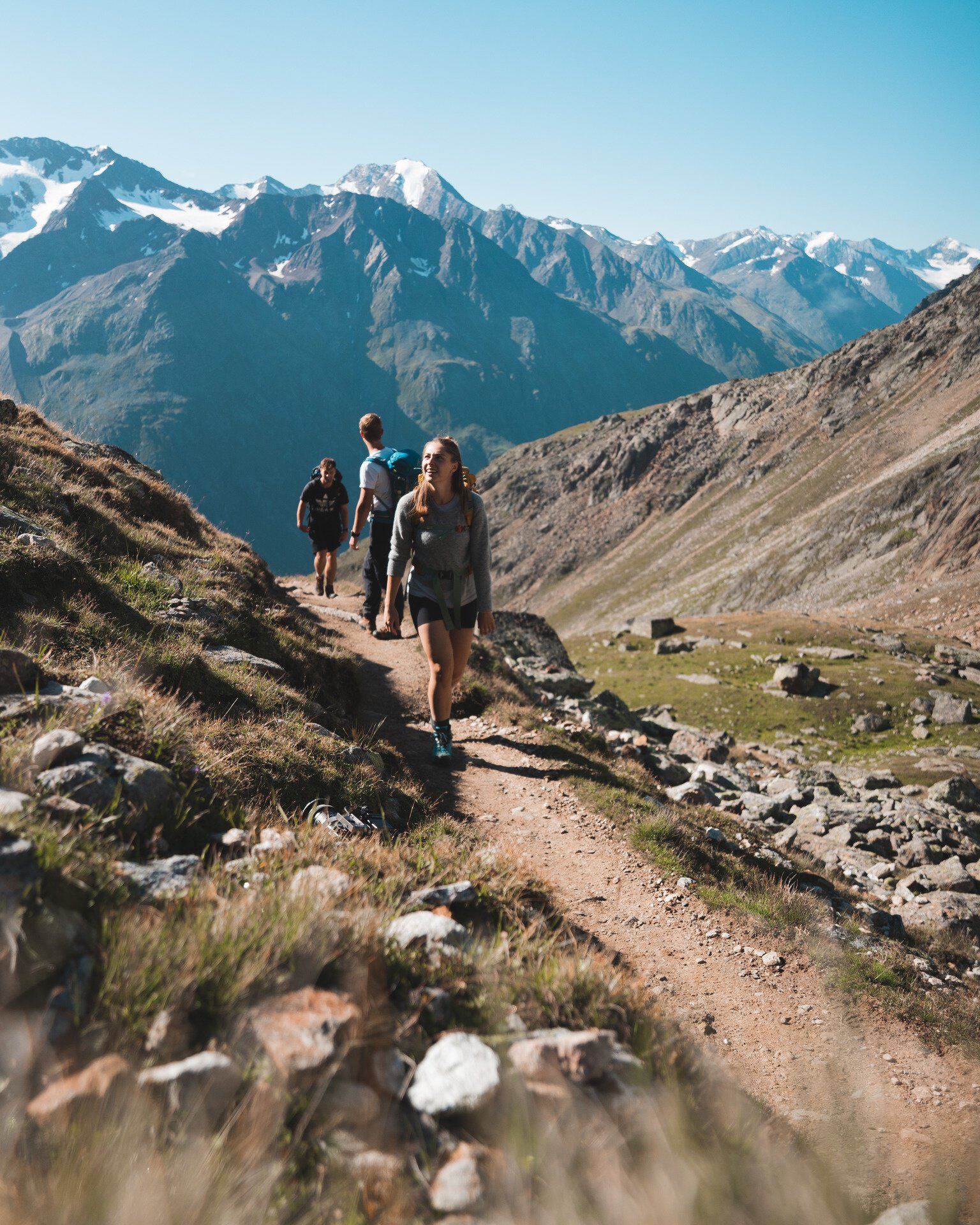
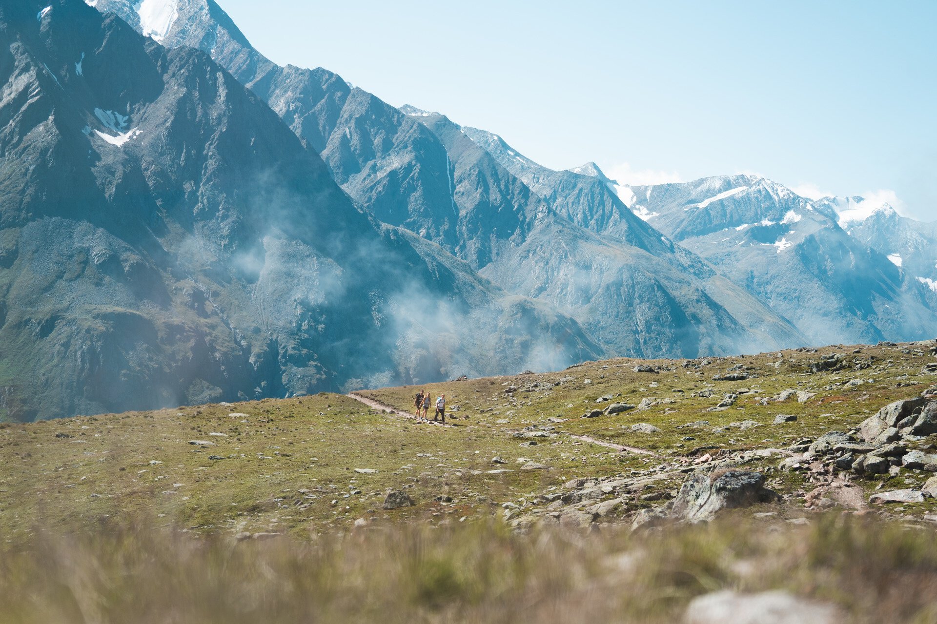
A lot of views with barely uphill-meters - that's what a wonderful panorama trail offers, which runs from the station at the Tiefenbachferner in the Ötztal Alps to Vent, the mountaineering village at the beginning of the Rofental. On the approximately half-day hike with a descent of 900 meters altitude you have beautiful views of the White Crest and on the opposite chain around the Ramolkogel. For sure-footed hikers a true nature experience from the glaciers to green alpine meadows, away from the hustle and bustle
The bus ride from Sölden to Tiefenbach Glacier incl toll and the bus ride from Vent to Sölden can be purchased directly in the bus.
Regions & Places
Mountain areas
Details
Characteristics
Way types
Safety guidelines
Please note the current weather report under Weather Sölden
Additional information
Recommended literature
Recommended maps
Directions
Caution is advised in uncertain weather forecast, because you can not descend early to the valley. Therefore, this hike should be committed only in stable weather conditions. Throughout the tour you can enjoy magnificent views of opposite ridges, from the Nederkogel to the Großer Ramolkogel.
Arrival
Public transit
Starting point
Getting there
To the route planner: https://www.google.at/maps
Parking
- Parking lot Postplatz
- Giggijochbahn + underground garage
- Gaislachkoglbahn + underground garage
All parking is free during the day.
Parking for several days (eg hike tour):
- Postplatz, Parkticket available at the information Sölden
- Parkgarage Gaislachkoglbahn, Parkticket either online or directly at the cash desk of the Gaislachkoglbahn
Current information
Midsummer-like hot