


Ötztal Trek Stage 13
Description
Map & elevation profile
The Tour
- Route: path, trail
- Requirements: sure-footedness, freedom from vertigo, stamina, high alpine experience
- Mountain trail black, partly alpine route
- Difficulties: passage over the Hochjochferner (crevasses); mountain guide recommended
- Equipment: normal hiking equipment, crampons, ice axe depending on conditions; rope in any case; roping up on the glacier
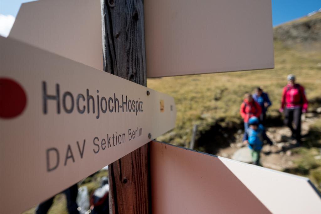
- Overnight stay, meals: Similaun hut, Hochjoch-Hospiz
Regions & Places
Mountain areas
Details
Characteristics
Way types
Safety guidelines
For those free from vertigo, sure-footed, and experienced in high alpine terrain; excellent physical condition, comprehensive mountain experience, alpine climbing equipment, securing and orientation tools, and good weather conditions are recommended. Please check the current weather report.
Hiking difficulty
Additional information
Did you know that…
...a monument has been erected at the site of the approximately 5250-year-old Stone Age mummy “Ötzi”?
More info about hiking in Ötztal: www.oetztal.com/wandern
Recommended maps
Kompass hiking map (available at the Ötztal Tourism information offices)
Directions
GLACIER MUMMY ÖTZI - THE MAN FROM THE ICE
From the hut, the route goes upward over a broad ridge until it turns into a steep block ridge. Fixed ropes provide assistance in this passage until the terrain becomes flatter again in the final section toward Tisenjoch on the South Tyrolean side. The discovery site of the Iceman Ötzi at Tisenjoch is the highlight of this stage. Afterwards, you ascend another 100 vertical meters to Hauslabjoch. You enter the Hochjochferner glacier and keep to the right northern edge going downwards. At 3,000 meters altitude, the glacier is left, and the route merges into the path descending from Saykogel. The path continues down the steep slope before winding down in switchbacks into the Rofental. At 2,500 meters, you cross the Hochjochbach and descend in switchbacks on steep terrain down to the stream from Hintereisferner. Another demanding 100 vertical meters must be mastered to reach Hochjoch-Hospiz.
Arrival
Public transit
Travel comfortably and safely by train to the Ötztal train station. The final stop or exit point is the ÖTZTAL station. You can then conveniently and quickly continue with public transport or local taxi services through the entire valley to your desired destination.
The current bus schedule is available at: http://fahrplan.vvt.at
Starting point
Getting there
The car trip into ÖTZTAL. Located in Tyrol, the Ötztal branches off to the south as the longest side valley of the Eastern Alps. Traveling by car takes visitors over the Inn Valley to the valley entrance and then along the Ötztal. In addition to the toll motorway, country roads can also be used. Your drive can be quickly and comfortably planned with the route planner: To the route planner: https://www.google.at/maps
Parking
The following parking options are available in Vent:
- at the entrance to Vent | paid | multi-day tickets possible
- valley station of the chairlift | paid | multi-day tickets possible
Current information
Midsummer-like hot
The tour is within these protected areas.
Equipment
Appropriate equipment such as breathable and weather-adapted outdoor clothing is required for all hikes and routes. Carrying a first aid kit, a mobile phone, and possibly a hiking map, as well as sufficient provisions for hikes without the possibility to stop for food, is necessary.
Ice axe, crampons, rope | mountain guide recommended.