
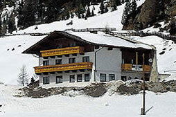

Almhof Mareil via Sattele
Description
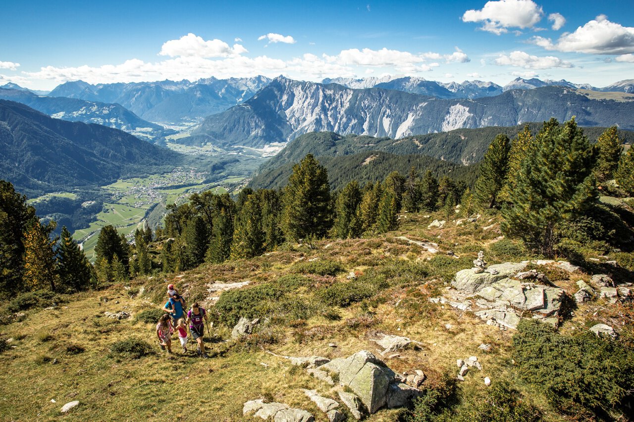
From Sattele towards Feldringalm, after approx. 500 meters turn right towards Marlstein, continue to Almhof Mareil.
Map & elevation profile
The Tour
From Sattele towards Feldringalm, after approx. 500 meters turn right towards Marlstein, continue to Almhof Mareil.
Regions & Places
Mountain areas
Details
Characteristics
Way types
Additional information
More information about hiking in the Ötztal: https://www.oetztal.com/wandern
Directions
Arrival
Public transit
Travel comfortably and safely by train to the Ötztal train station. The final stop and exit point is ÖTZTAL station. Afterwards, travel conveniently and quickly by public bus or local taxi companies through the entire valley to your desired destination! The current bus timetable is available at: http://fahrplan.vvt.at
Starting point
Getting there
Ochsengarten is located in the west of Austria in the federal state of TIROL, in a southern side valley of the Inn Valley - the ÖTZTAL. For your arrival by car, plan the optimal travel route from your home location easily online with the route planner: https://www.google.at/maps
Parking
The following parking options are available in Ochsengarten:
- Ochsengarten - large public parking lots – opposite or next to the valley station of the Ochsengartenbahn
- Ochsengarten in the center opposite our information office and opposite GH Bergland
- Ochsengarten at the edge of town, towards Kühtai, at the school, above Ochsengarten – paid parking lot) at Sattele – starting point WI hiking area, or SO hiking area Feldringalm
Current information
Midsummer-like hot