
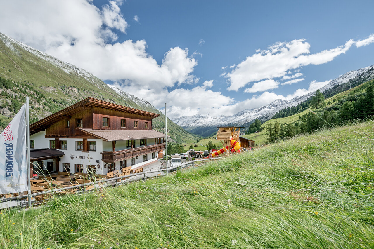
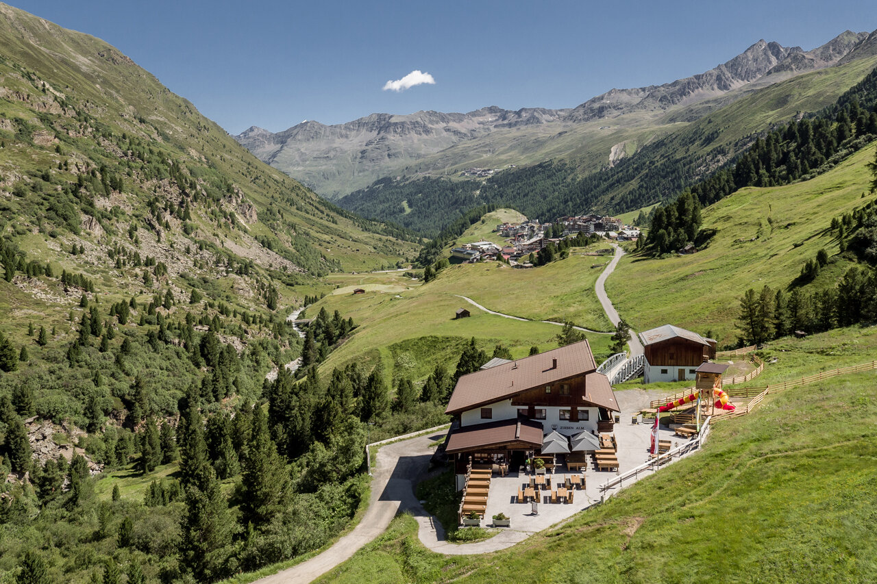

Zirben Alm - Obergurgl
Map & elevation profile
The Tour
OBERGURGL -> ZIRBEN ALM
From Obergurgl head south to the last houses. Here follow the hiking trail towards Zirben Alm.
Regions & Places
Mountain areas
Details
Characteristics
Way types
Safety guidelines
Easy hiking trail; suitable for beginners and walkers. Please check the current weather report at: https://www.oetztal.com/de/sommer.html.
Additional information
More information about hiking in the Ötztal: https://www.oetztal.com/wandern
Directions
From Obergurgl head south to the last houses. Here follow the hiking trail towards Zirben Alm.
Arrival
Public transit
Travel comfortably and safely by train to the Ötztal train station. The final stop or exit point is the ÖTZTAL station. Afterwards, you can conveniently and quickly continue by public transport or local taxi companies through the entire valley to your desired destination. The current bus schedule can be found at: http://fahrplan.vvt.at.
Starting point
Getting there
The car ride to the ÖTZTAL. Located in Tyrol, the Ötztal branches southward as the longest side valley of the Eastern Alps. Traveling by car takes visitors via the Inn valley to the valley entrance and further along the Ötztal. In addition to the toll motorway, country roads can also be used. With the route planner, your trip can be quickly and conveniently determined: To the route planner: https://www.google.at/maps.
Parking
- Parking garage village center Obergurgl (go down right in front of the church), paid | € 2.00 first hour, for every additional 1/2 hour € 1.00 up until max. € 16.00 for 24 hours
- Parking garage village entrance – Festkoglbahn valley station, paid | € 6.00 from 8:00 am to 8:00 pm, € 10.00 from 8:00 pm to 8:00 am
- Parking lot Hochgurglbahn valley station, free – no overnight parking
- Parking lot Top Mountain Crosspoint, free
Current information
Midsummer-like hot
Equipment
Appropriate equipment such as breathable and weather-adapted outdoor clothing, ankle-high hiking boots, wind, rain, and sun protection, a cap, and possibly gloves, is required for all hikes and routes. It is necessary to carry a first aid kit, a mobile phone, and possibly a hiking map, as well as sufficient provisions for hikes without the possibility of stopping for food.