


Winter route Zwieselstein - Bodenegg 108
Description
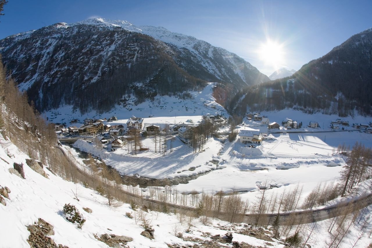
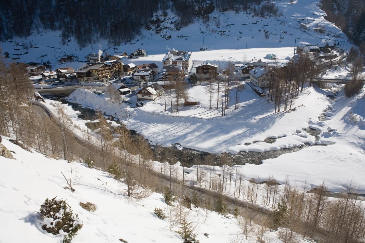
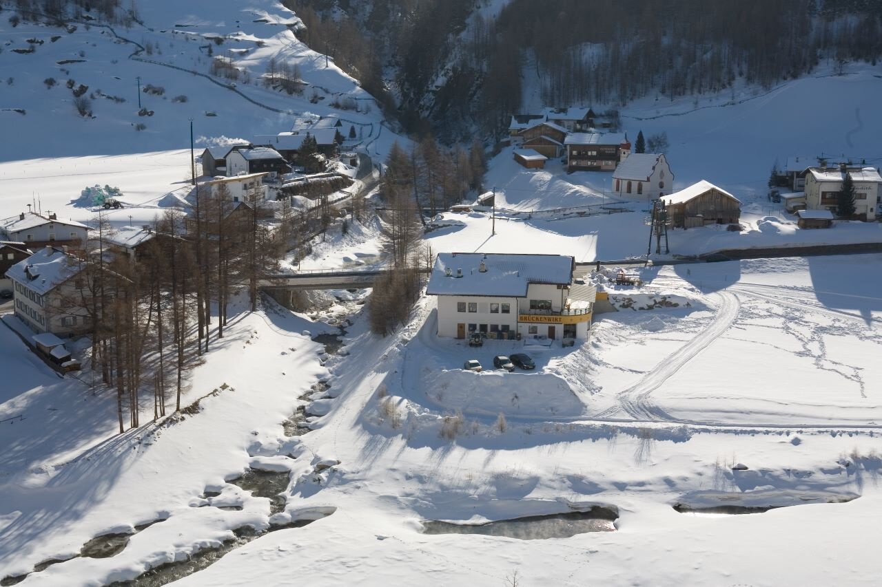
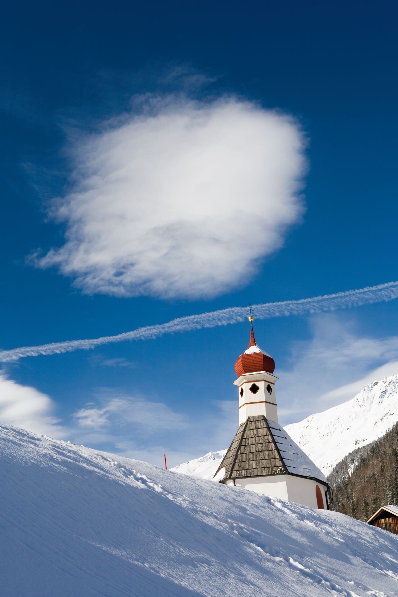
ZWIESELSTEIN Brückenwirt - Sports field - Bodenegg (no dining options) - Sports field - ZWIESELSTEIN Brückenwirt
Map & elevation profile
The Tour
ZWIESELSTEIN Brückenwirt - Sports field - Bodenegg (no dining options) - Sports field - ZWIESELSTEIN Brückenwirt
From the Brückenwirt guesthouse, you hike to the Zwieselstein sports field. There you cross a bridge and continue towards Bodenegg.
From Bodenegg, you cross the river and walk along the cross-country trail past the sports field back to Zwieselstein.
No dining options.
Regions & Places
Mountain areas
Details
Characteristics
Way types
Safety guidelines
Please inform yourself about the trail conditions and status of the winter hiking paths before starting the hike at Ötztal Tourism.
Ötztal Tourism
T +43 (0) 57 200 200
soelden@oetztal.com
Technical difficulty
Additional information
More information about winter hiking in the Ötztal: https://www.oetztal.com/winterwandern
Recommended maps
Map of Sölden
Mountain winter Sölden
Directions
From the Brückenwirt guesthouse, you hike along a wide hiking trail to the Zwieselstein sports field.
There, you cross a bridge and then continue along the Venter Ache on a wide path towards Bodenegg.
In Bodenegg, you cross the river using a wooden bridge and walk back along the cross-country trail to the sports field in Zwieselstein.
Arrival
Public transit
Travel comfortably and safely by train to the ÖTZTAL station. The final stop or exit point is the ÖTZTAL station. Afterwards, you can conveniently and quickly continue through the entire valley to your desired destination by public bus or local taxi services.
The current bus schedule is available at: https://fahrplan.vvt.at
Starting point
Getting there
Driving into the ÖTZTAL. Located in Tyrol, the Ötztal branches off to the south as the longest side valley of the Eastern Alps. Driving by car leads visitors through the Inn valley to the valley entrance and further along the Ötztal. In addition to the toll motorway, country roads can also be used. The route planner allows you to quickly and conveniently plan your drive:
To the route planner: https://www.google.at/maps
Parking
The following parking options are available in Zwieselstein and Sölden:
- Zwieselstein parking lot
- Zwieselstein/Sports field parking lot
The parking lots are subject to fees.
Current information
Midsummer-like hot
The tour is within these protected areas.
Equipment
Appropriate equipment such as breathable and weather-appropriate outdoor clothing, ankle-high hiking boots, wind, rain, and sun protection, a hat, and possibly gloves is required for all hikes and routes.
Carrying a first aid kit, a mobile phone, and possibly a hiking map is recommended.