


Winter hiking route Rofen Farms - mountaineering village Vent 51
Map & elevation profile
The Tour
VENT -> ROFEN FARMS
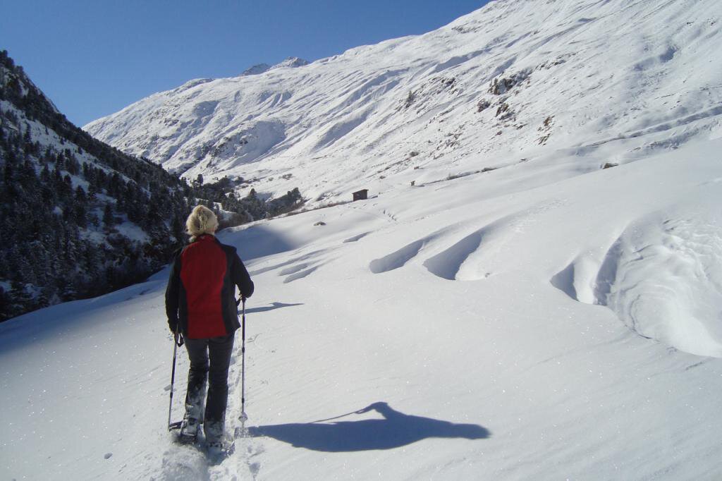
A relatively flat, atmospheric winter hiking route leads from Vent to the beautifully situated Rofen farms in the namesake Rofen valley, which extends southwards up to the glaciers of the main Alpine ridge. From the entrance to Vent, you walk over the bridge to the valley station of the Ochsenkopf lift, where the winter hiking route begins. It runs along the foot of the Talleit peak and past the old cross of the Wildspitze, which dates from 1933, was replaced in 2010, and brought down to the valley. After a short stretch, you go right over a suspension bridge to the Rofen farms. Refreshments are available at the Gasthof Rofenhof.
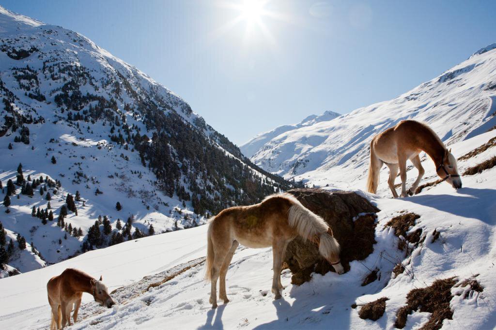
The historic Rofen farms are among the oldest permanently inhabited mountain farms in Austria. Also visit the well-known Haflinger horse breeding.
Regions & Places
Mountain areas
Details
Characteristics
Way types
Safety guidelines
Attention:
Please observe the current snow and avalanche report for the next few days:
https://www.oetztal.com/de/winter.html & https://avalanche.report/albina-web/bulletin/2019-01-07?lang=de
Information:
Ötztal Tourism
T +43 (0) 572 00 220
vent@oetztal.com
Technical difficulty
Additional information
More info about winter hiking in the Ötztal: https://www.oetztal.com/winterwandern
Recommended literature
Local information Vent / information available at Vent
Ötztal mountain winter / information available at Vent
Recommended maps
Kompass #042 | Inner Ötztal and Pitztal, Gurgler valley, Venter valley | 1:25,000
Kompass #43 | Ötztal Alps, Ötztal, Pitztal | 1:50,000
Freytag&Bernd WK 251 | Ötztal, Pitztal, Kaunertal, Wildspitze | 1:25,000
Kompass | Bike & hike map Ötztal | 1:35,000
Directions
A relatively flat, atmospheric winter hiking route leads from Vent to the beautifully situated Rofen farms in the namesake Rofen valley, which extends southwards up to the glaciers of the main Alpine ridge. From the entrance to Vent, you walk over the bridge to the valley station of the Ochsenkopf lift, where the winter hiking route begins. It runs along the foot of the Talleit peak and past the old cross of the Wildspitze, which dates from 1933, was replaced in 2010, and brought down to the valley. After a short stretch, you go right over a suspension bridge to the Rofen farms. Refreshments are available at the Gasthof Rofenhof.
Arrival
Public transit
Travel comfortably and safely by train to the Ötztal railway station. The terminus or exit point is the ÖTZTAL station. Afterwards, you can conveniently and quickly travel through the entire valley to your desired destination using public transport or local taxi companies! The current bus timetable is available at: http://fahrplan.vvt.at
Starting point
Getting there
Vent is located in western Austria in the federal state of TIROL, in a southern side valley of the Inn valley - the ÖTZTAL. For your arrival by car, plan the optimal travel route from your home location with the route planner online right away: https://www.google.at/maps
Parking
In the mountaineering village of Vent, the following parking options are available.
- In summer in front of the village (parking ticket machine, coins or EC card only) and at the valley station of the chairlift (at the mountain railway ticket office)
- In winter only at the valley station of the chairlift.
Cost: € 6.00 per day/car
Current information
Midsummer-like hot
The tour is within these protected areas.
Equipment
Appropriate equipment such as breathable and weather-appropriate outdoor clothing, wind, rain, snow and sun protection, a hat and gloves, is required for all hikes and routes.
Carrying a first aid kit, a mobile phone, and possibly a route map, as well as sufficient provisions on tours without refreshment options, is necessary.