


Via ferrata Zirbenwald | Obergurgl
Description
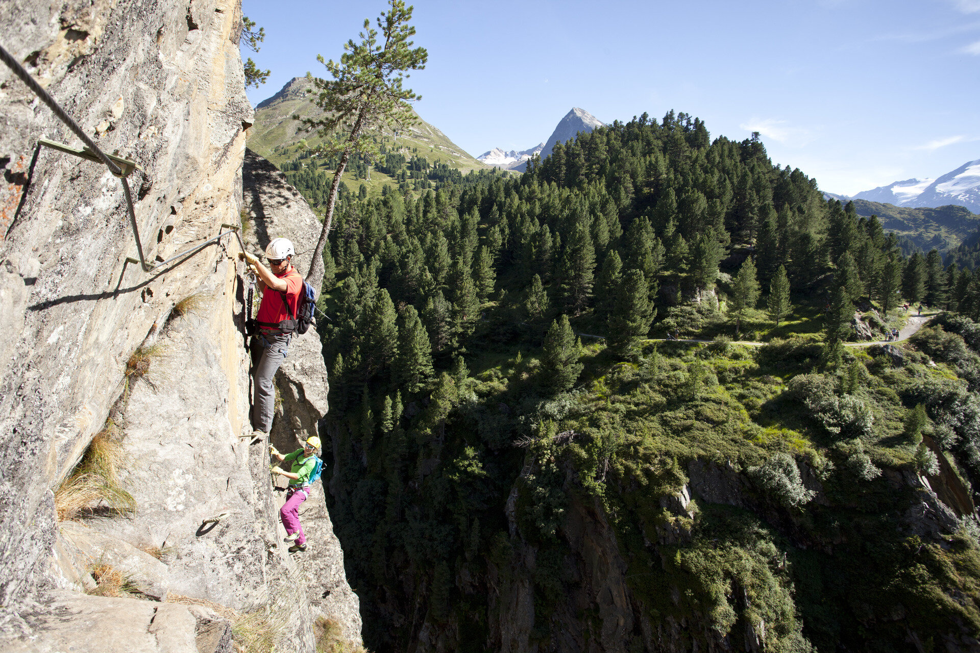
The family-friendly via ferrata has two more difficult C sections that require some experience.
Map & elevation profile
The Tour
The family-friendly via ferrata has two more difficult C sections that require some experience.
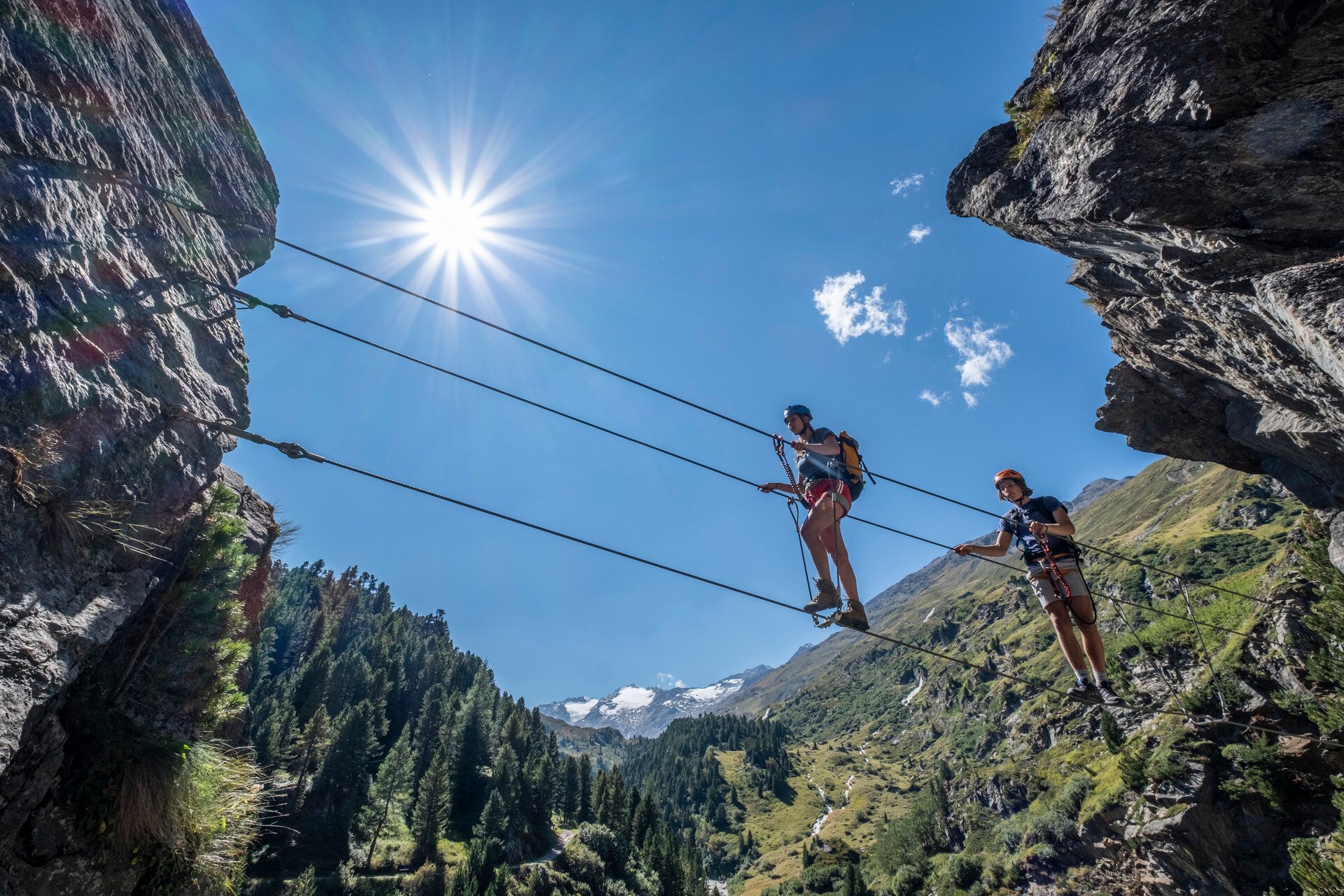
Crossing the suspension bridge at the start already requires courage and skill; a cable for securing with the via ferrata set is provided. The easy hiking trail to and from the exit is especially pleasant, so non-climbers can also be close to the action.
Length and time required
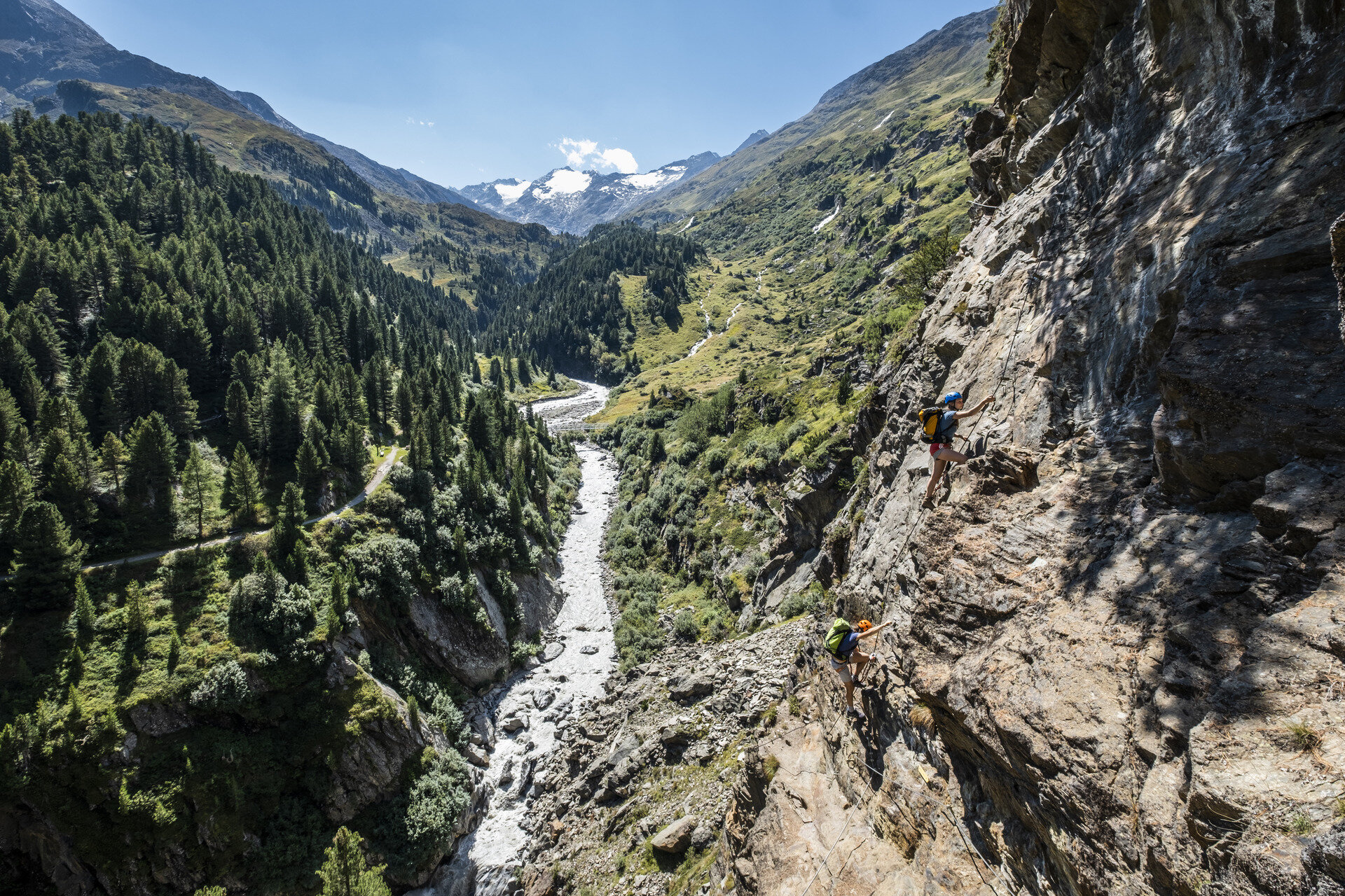
100 meters altitude and 400 m climbing length. approx. 1.5 to 2 hours, about 3 hours including descent.
More details about the via ferrata / www.climbers-paradise.com
Regions & Places
Mountain areas
Details
Characteristics
Way types
Exposition
Safety guidelines
SAFETY ON THE VIA FERRATA
The Austrian Alpine Club has formulated 10 recommendations for via ferrata climbing to increase safety:
- Plan carefully
- Adjust the target to your personal abilities
- Use complete, standards-compliant equipment
- Do not start if there is a thunderstorm risk
- Critically check the cable and anchors
- Partner check at the start
- Maintain sufficient distances
- Clear communication when overtaking
- Beware of rockfall
- Respect nature and the environment
Minimum age of children: 10 years (1.40 m height)
Via ferrata difficulty
Additional information
More info about climbing in the Ötztal: https://www.oetztal.com/klettern
Arrival
Public transit
Travel comfortably and safely by train to the Ötztal station. The final stop or exit point is the ÖTZTAL station. Afterwards, you can conveniently and quickly continue your journey to your desired destination within the entire valley by public transport or local taxi companies! The current bus schedule can be found at: http://fahrplan.vvt.at
Starting point
Getting there
Driving to the ÖTZTAL. Located in Tyrol, the ÖTZTAL branches southwards as the longest side valley of the Eastern Alps. Traveling by car leads visitors via the Inn valley to the valley entrance and further along the Ötztal. In addition to the toll motorway, country roads can also be used. Your journey can quickly and conveniently be planned with the route planner: To the route planner: https://www.google.at/maps
Parking
The following parking options are available in Gurgl:
- Parking garage village center Obergurgl (down to the right in front of the church), paid
- Parking garage village entrance – valley station Festkoglbahn, paid
Current information
Sun, risk of thunderstorms
Clouds and rain showers
Equipment
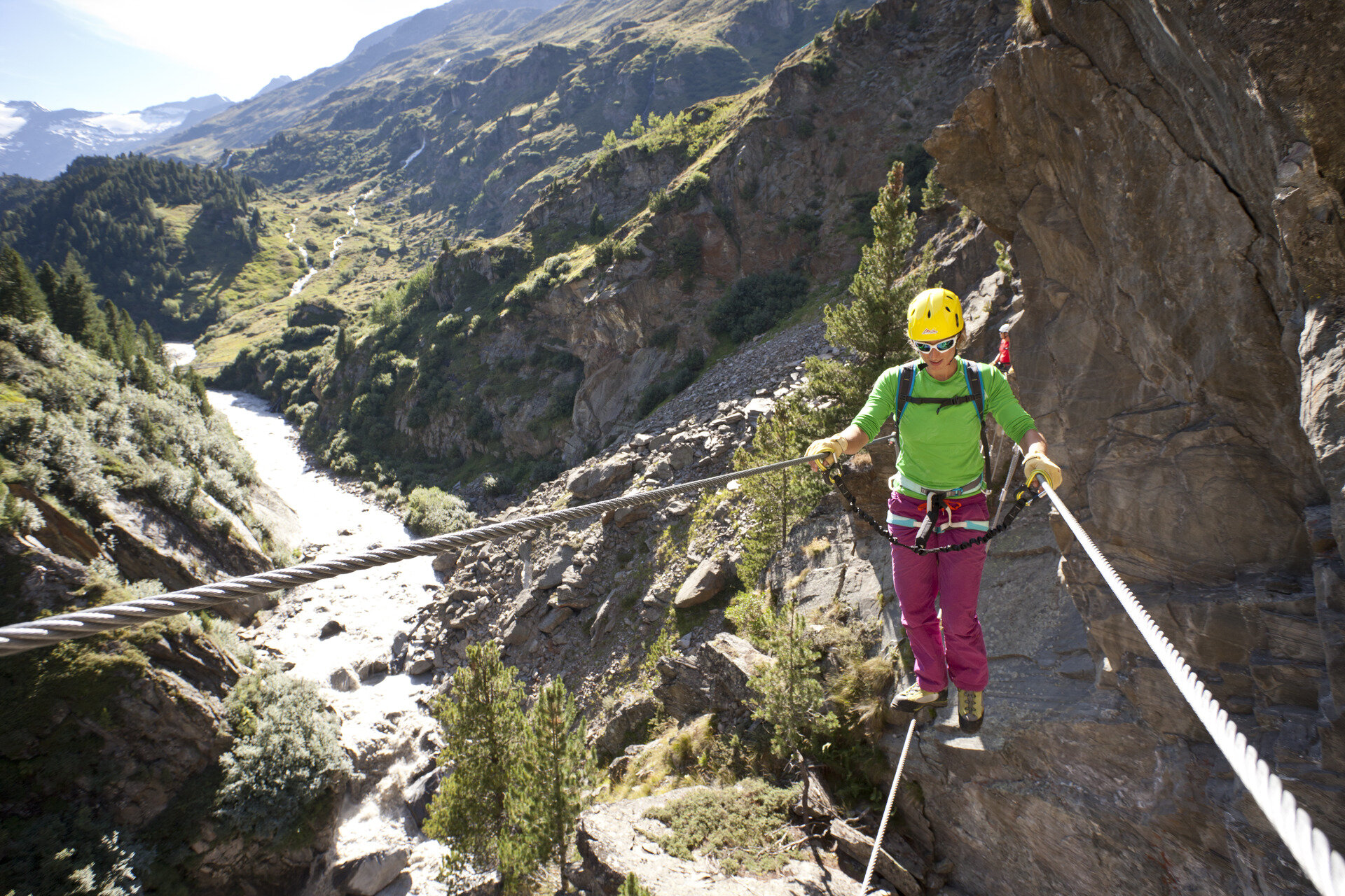
Helmet, climbing harness with via ferrata set, via ferrata gloves, and suitable footwear.