

Via ferrata Piburg
Description
Use is limited to the time from 8:00 a.m. to 8:00 p.m. and to the months from April to November
Map & elevation profile
The Tour
Use is limited to the time from 8:00 a.m. to 8:00 p.m. and to the months from April to November
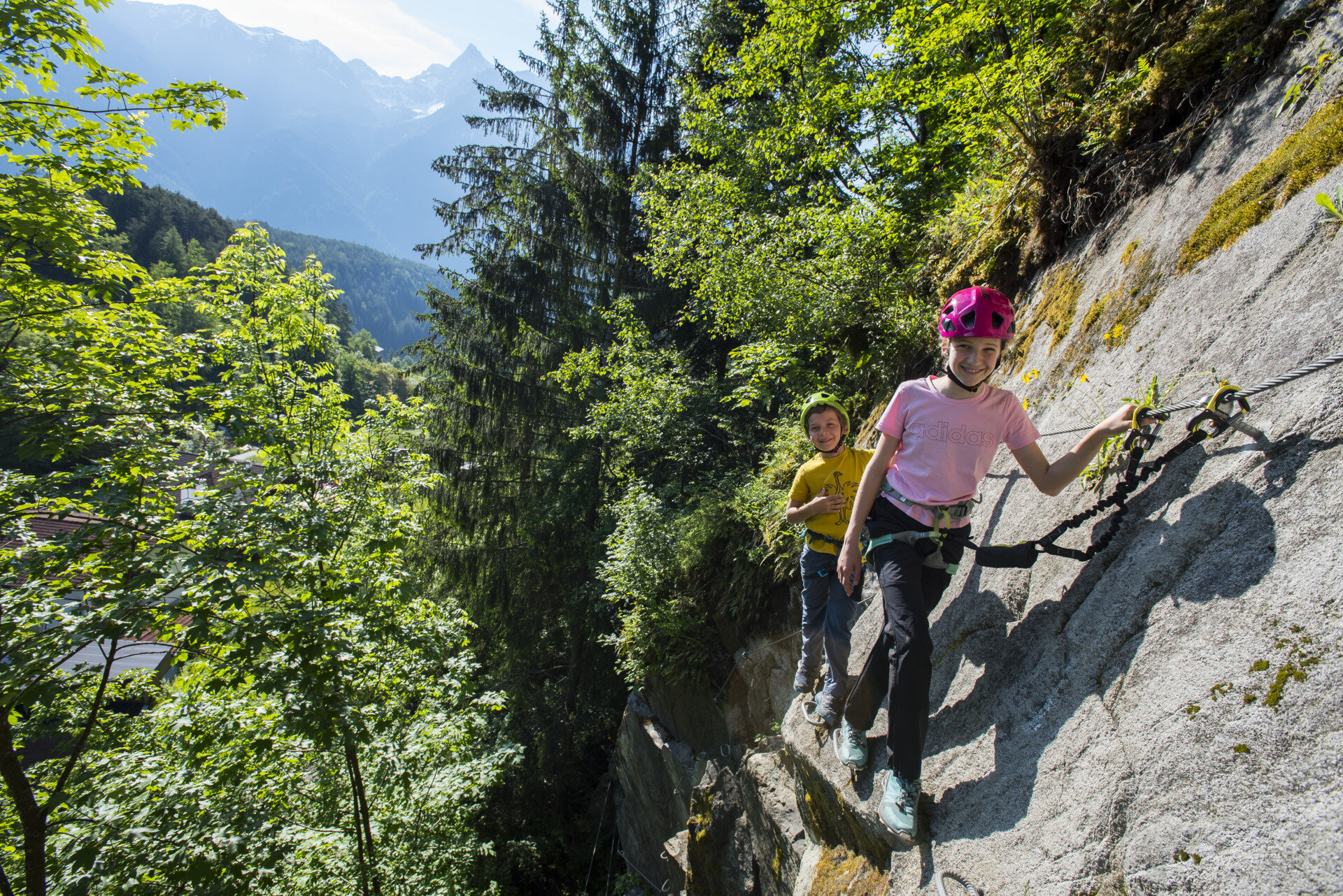
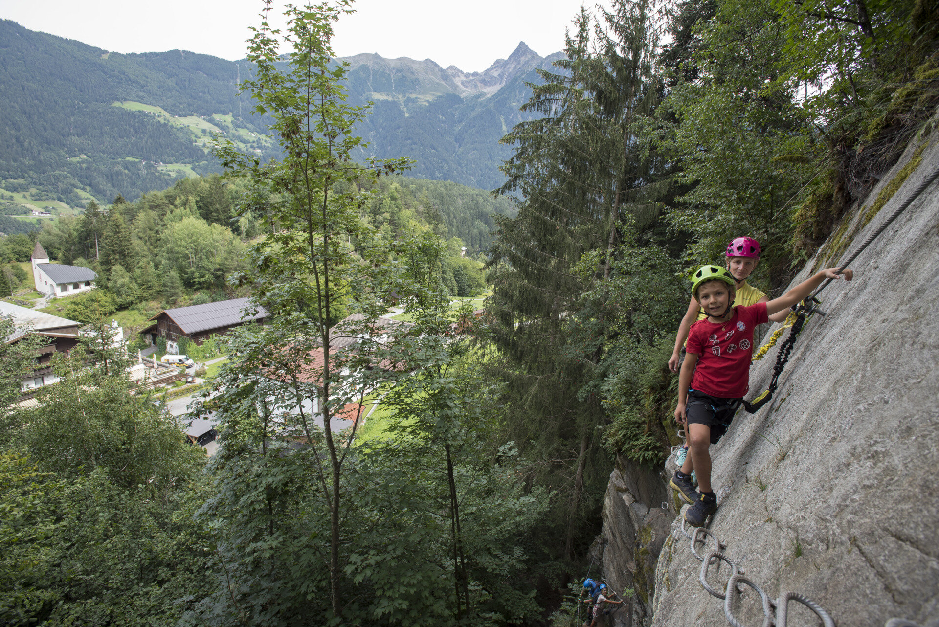
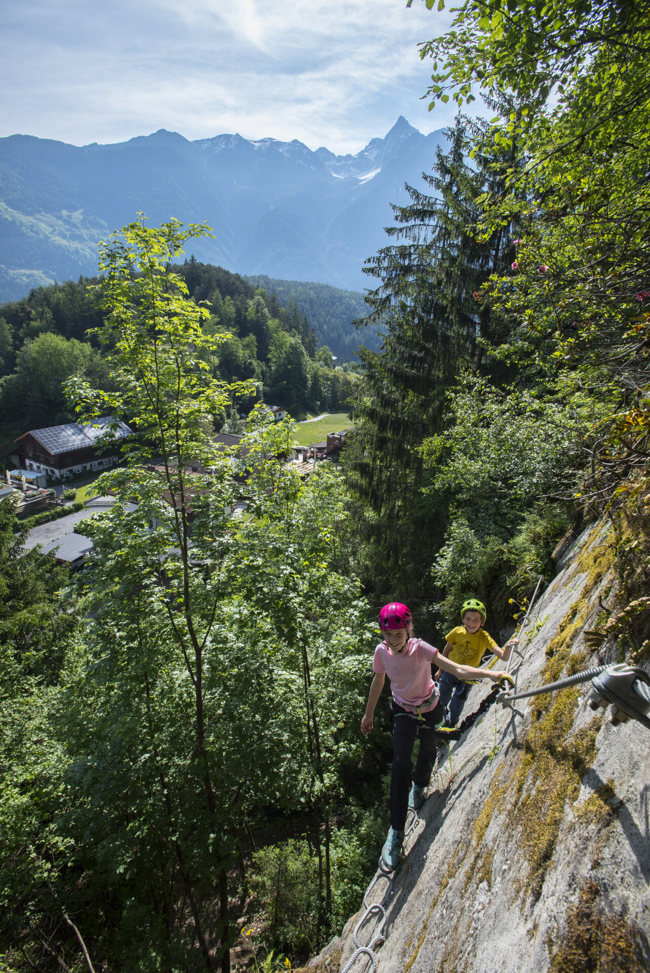
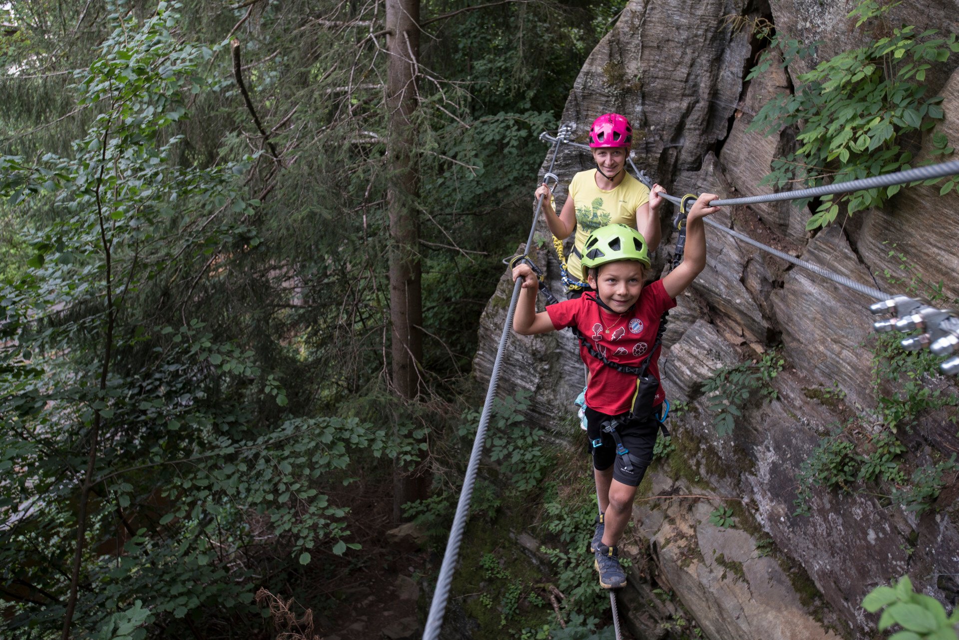
The practice via ferrata Piburg is a small via ferrata on the west shore of Lake Piburger directly in the village of Piburg. The short route traverses a small rock face in ascent and has a small rope bridge in the middle section. For people with little via ferrata experience, this route is ideal to experience the first rock/iron contact in the Ötztal.
Note on the protections:
Well protected with steel cable and foot clamps.
Additional note on the difficulty:
Short sections B/C, mostly around A and B.
Entry to the wall:
From the parking lot on the forest track to the small equipment house of the fire department and behind it to the already visible rock face.
Descent:
From the exit on the path below the wall back to the forest track and from there to the parking lot.
Rental:
Via ferrata sets, helmets, and climbing harnesses can be rented at Hotel Seerose in Piburg.
More details about the via ferrata / www.climbers-paradise.com
The via ferrata is located in the shade in the bush forest - it is rather damp after rainfall or in spring or autumn.
If you are already there, you should definitely take a look at Lake Piburger - from the parking lot at Hotel Seerose it takes about 5 minutes to walk down to the lake.
Regions & Places
Mountain areas
Details
Characteristics
Way types
Exposition
Safety guidelines
SAFETY ON THE VIA FERRATA
The Austrian Alpine Club has formulated 10 recommendations for climbing via ferratas to increase safety:
- Careful planning
- Adapt the goal to your personal abilities
- Use complete, standard-compliant equipment
- Do not start in case of thunderstorm risk
- Critically check cable and anchors
- Partner check at the start
- Maintain sufficient distances
- Clear communication when overtaking
- Beware of falling rocks
- Respect nature and the environment
Via ferrata difficulty
Additional information
More info about climbing in the Ötztal:
Arrival
Public transit
Travel comfortably and safely by train to the Ötztal train station. The final stop or exit point is ÖTZTAL station. Afterwards, you can travel conveniently and quickly with public transportation or local taxi companies through the entire valley to your desired destination! The current bus schedule is available at: http://fahrplan.vvt.at
Starting point
Getting there
Arriving by car brings visitors through the Inn Valley to the entrance of the valley and further along the Ötztal. In addition to the toll highway, country roads can also be used. You can quickly and conveniently determine your route with the route planner. To the route planner: https://www.google.at/maps
Parking
The following parking options are available in Piburg:
- Piburg parking lot; subject to fees
Current information
Midsummer-like hot
Equipment
Helmet, climbing harness with via ferrata set, via ferrata gloves, suitable footwear, possibly poles for the descent.