Mountain Hike recommended route

Summit route Blosse

Mountain Hike · Sautens
Logo Ötztal
Responsible for this content
Ötztal Verified partner 
  • Photo: Ötztal Tourismus Büro Oetz, Ötztal

Selected alternatives for you
    SAUTENS -> Haderlehn -> Knappensteig -> Bachfalle -> Karalm -> Bloße -> SAUTENS
    moderate
    Distance 5.2 km
    6:00 h
    1,600 m
    24 m
    2,504 m
    810 m

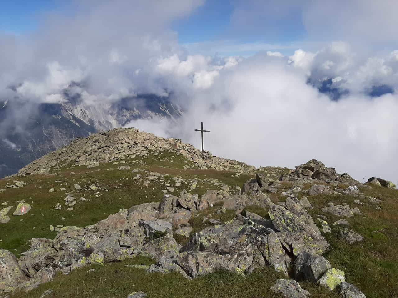
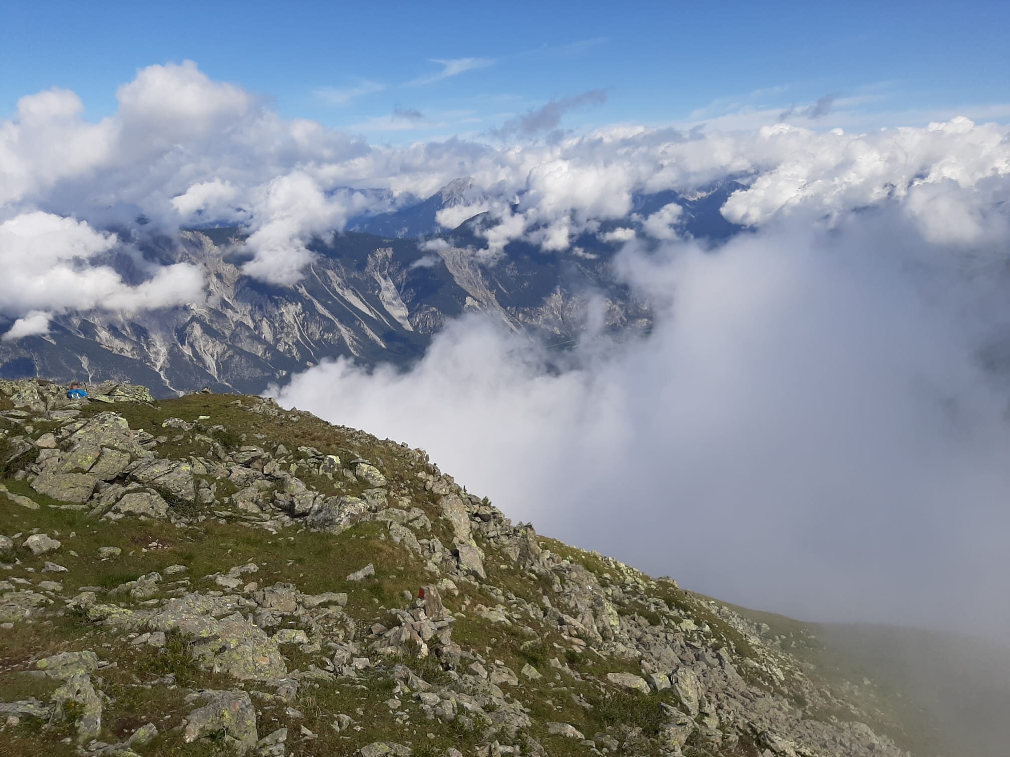
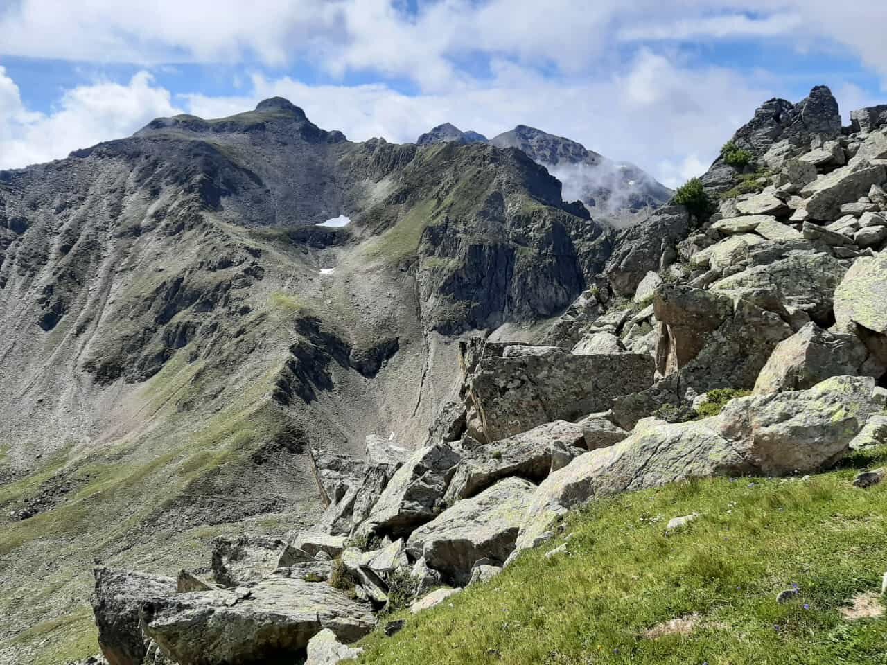
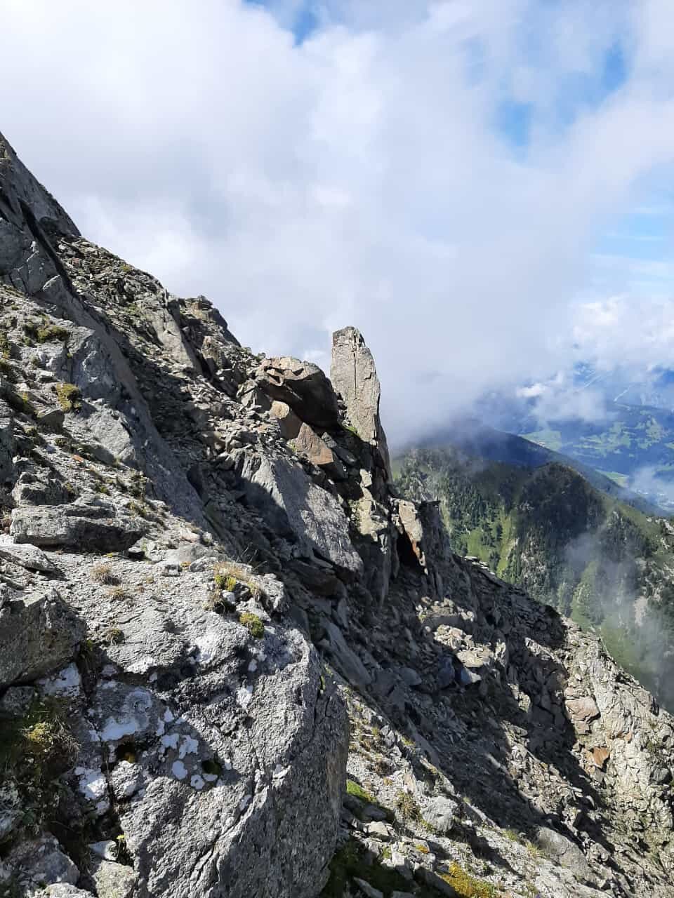
    The starting point of this route is the district of Haderlehn above Sautens. From here, you walk moderately uphill through the forest via the Knappensteig, past the Opferstein and the cold holes to the forest road junction. At the turning area, continue up the steep forest path, cross the Bachfalle, and continue on to the Karalm at 2,122 m (not managed). The fountain at the hut is the last water source. From there, continue to the summit of the Bloße at 2,536 m. A wonderful view of the towns of Sautens, Oetz with Hochoetz, the middle Inn Valley, and Imst rewards the arduous ascent. The return follows the same path to the starting point – not a circular hike.

    Profile picture of Ötztal Tourismus Büro Oetz
    Author
    Ötztal Tourismus Büro Oetz
    Logo Ötztal
    Responsible for this content
    Ötztal  Verified partner 
    Difficulty
    moderate
    Overall difficulty
    moderate

    Derived from the technical difficulty and the stamina requirements.

    Experience
    Landscape
    Highest point
    2,504 m
    Lowest point
    810 m
    Best time of year
    Jan
    Feb
    Mar
    Apr
    May
    Jun
    Jul
    Aug
    Sep
    Oct
    Nov
    Dec

    Track types

    Show elevation profile

    Rest stops

    Restaurant Pizzereria Roma
    miniM market

    Safety information

    Moderate mountain trail; suitable for sure-footed and experienced mountain hikers; good physical condition, mountain experience, and mountain equipment (see equipment section) required. Please note the current weather report at: https://www.oetztal.com/de/sommer.html

    Tips and suggestions

    More info about hiking in the Ötztal: https://www.oetztal.com/wandern

    Public transport

    Travel comfortably and safely by train to the Ötztal station. The final stop or exit point is the ÖTZTAL station. Afterwards, you can travel conveniently and quickly with public transport or local taxis through the whole valley to your desired destination! The current bus timetable can be found at: http://fahrplan.vvt.at

    Directions

    Driving to ÖTZTAL. Located in Tyrol, the Ötztal branches off to the south as the longest side valley of the Eastern Alps. Traveling by car, visitors follow the Inn Valley to the valley entrance and continue along the Ötztal. In addition to the toll motorway, country roads can also be used. With the route planner, your journey can be determined quickly and conveniently: To the route planner: https://www.google.at/maps

    Parking

    The following parking options are available in Sautens:

    • directly in front of the town hall - free of charge
    • right after the large bridge (turnoff from B186) on the large gravel parking lot - free of charge
    • at the sports field/cross chapel/Kalkofen adventure facility - free of charge
    • in front of the primary school/kindergarten, 3-Kirchblickweg – free of charge

    Coordinates

    DD
    47.206697, 10.862551
    DMS
    47°12'24.1"N 10°51'45.2"E
    UTM
    32T 641052 5229816
    w3w 
    ///conformist.secured.larder
    Get there by train, car, bike, or on foot!

    Author’s map recommendations

    Kompass Map Ötztal No. 0043

    Equipment

    Appropriate equipment such as breathable and weather-appropriate outdoor clothing, ankle-high hiking boots, wind, rain, and sun protection, a hat, and possibly gloves is required for all hikes and routes. It is necessary to carry a first aid kit, a mobile phone, and possibly a hiking map, as well as sufficient provisions on hikes without a place to rest or eat.

    Localization

    Parts of this content were machine translated using German as the source language

    Similar routes nearby

    • Summit route Rosskopf
    • Summit route Weather Cross from Hochoetz
    • Summit route Faltegartenköpfl
    • Summit route Grünwaslekreuz
    • Summit route Faltegartenköpfl and Grünwaslkreuz
     These suggestions were generated by our system
    Difficulty
    moderate
    Overall difficulty
    moderate

    Derived from the technical difficulty and the stamina requirements.

    Distance
    5.2 km
    Duration
    6:00 h
    Ascent
    1,600 m
    Descent
    24 m
    Highest point
    2,504 m
    Lowest point
    810 m
    Scenic Linear route Summit route

    Statistics

    • Content
    • Show images Hide images
    Features
    Maps and trails
    Nothing selected - click and drag in the elevation profile to zoom
    Distance
    Duration
    Ascent
    Descent
    Elevation profile