

Rundweg Hörnle - Niedertal
Description
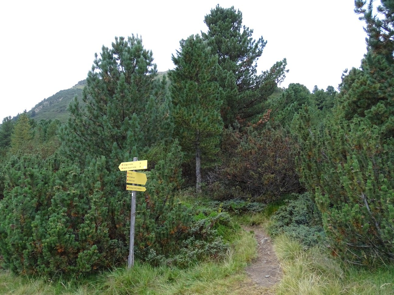
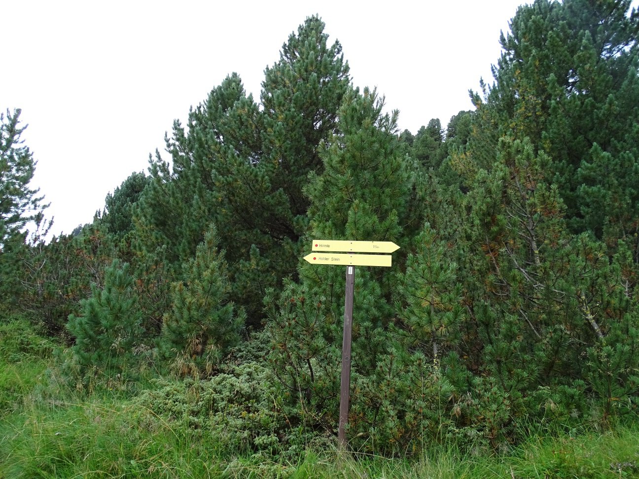
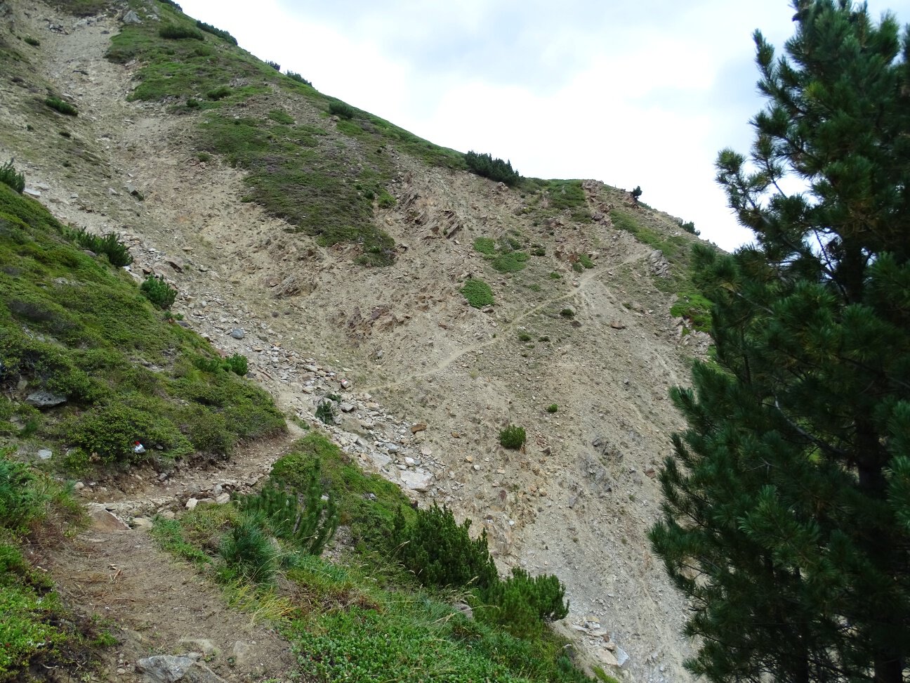
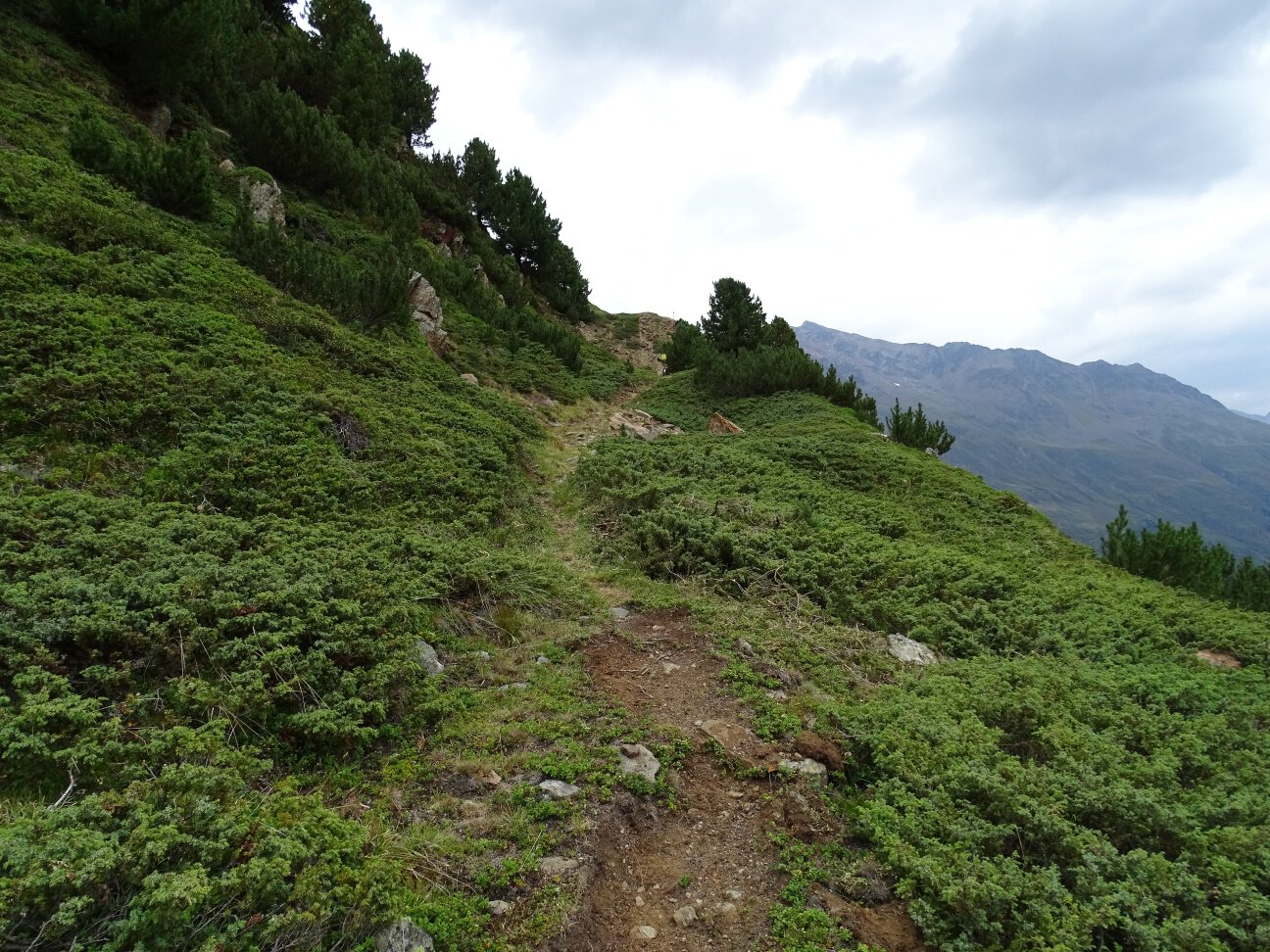
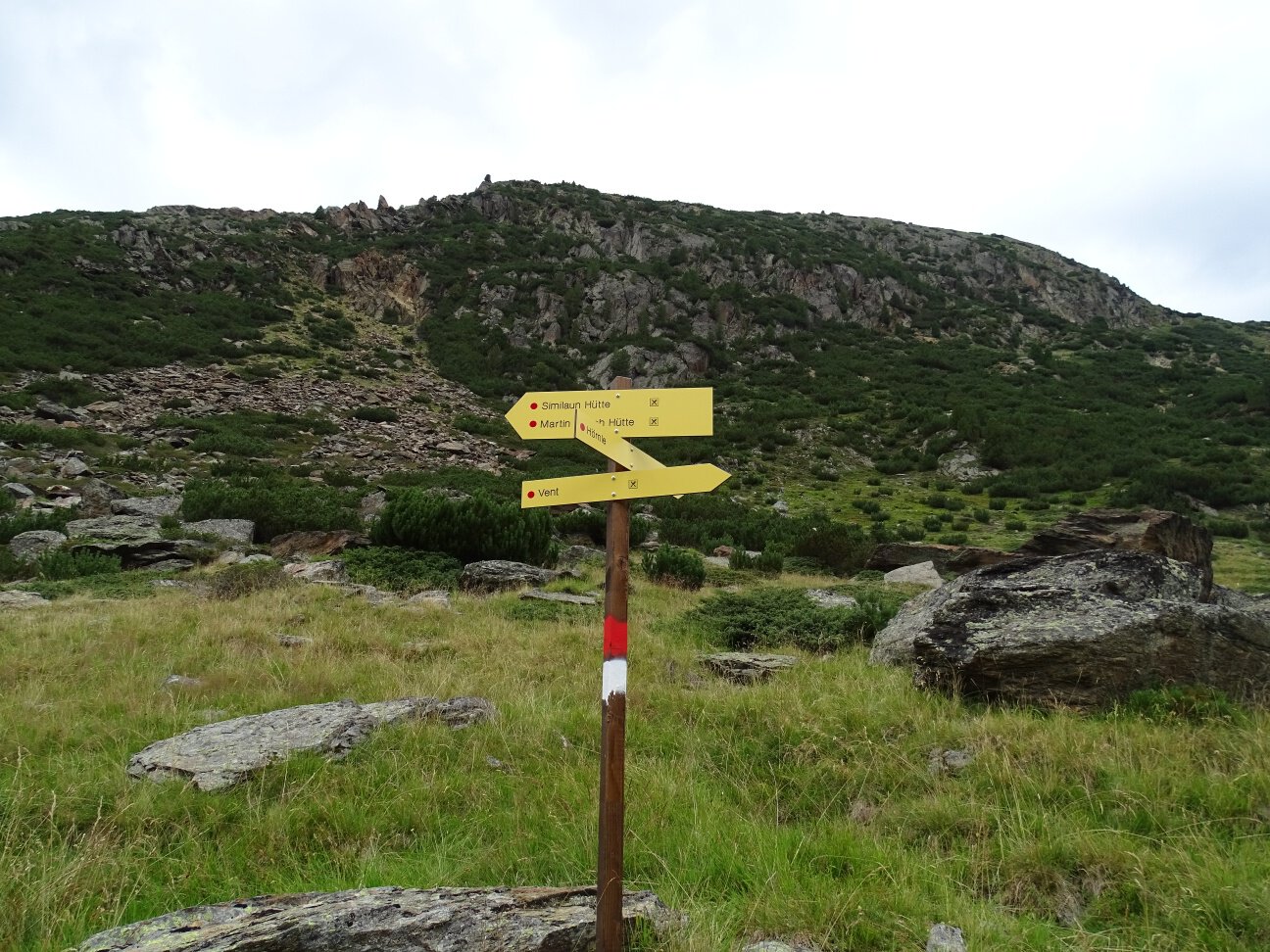
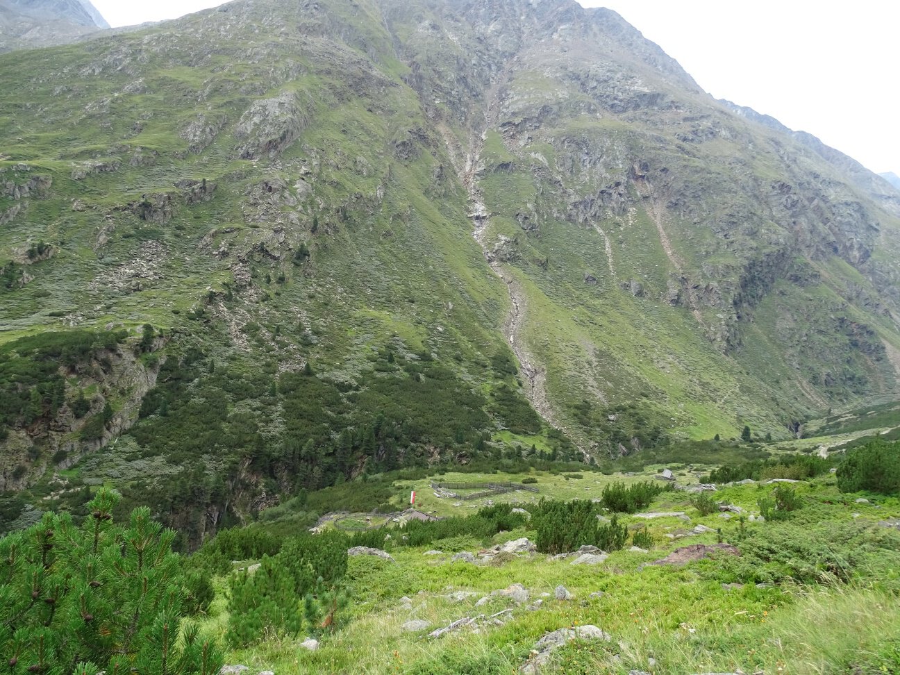
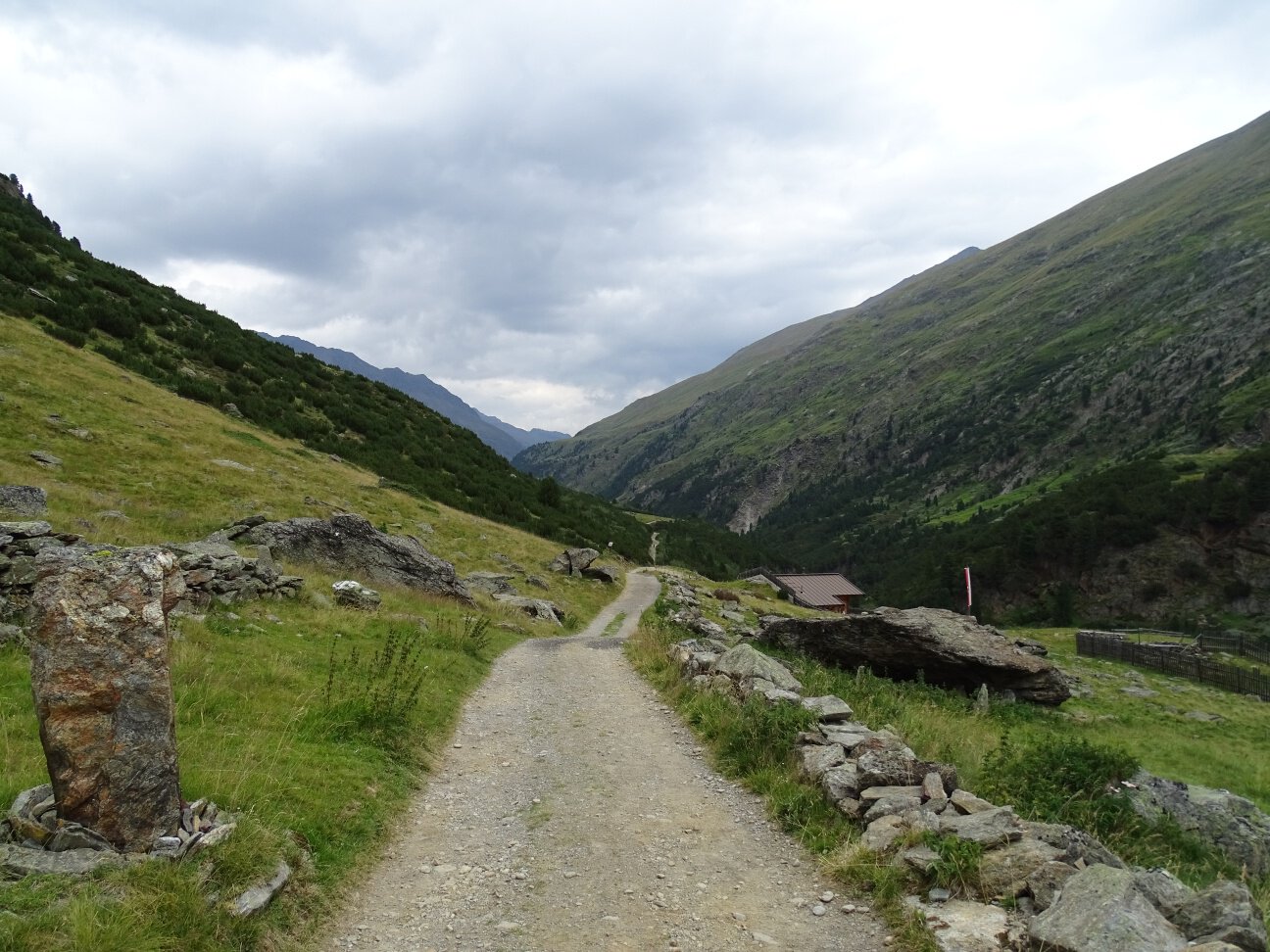
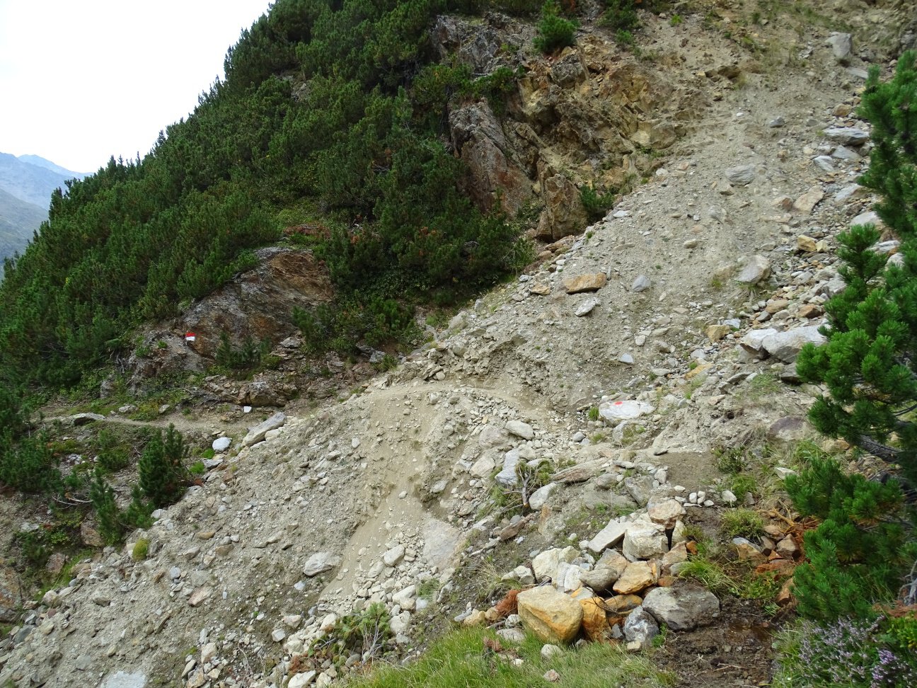
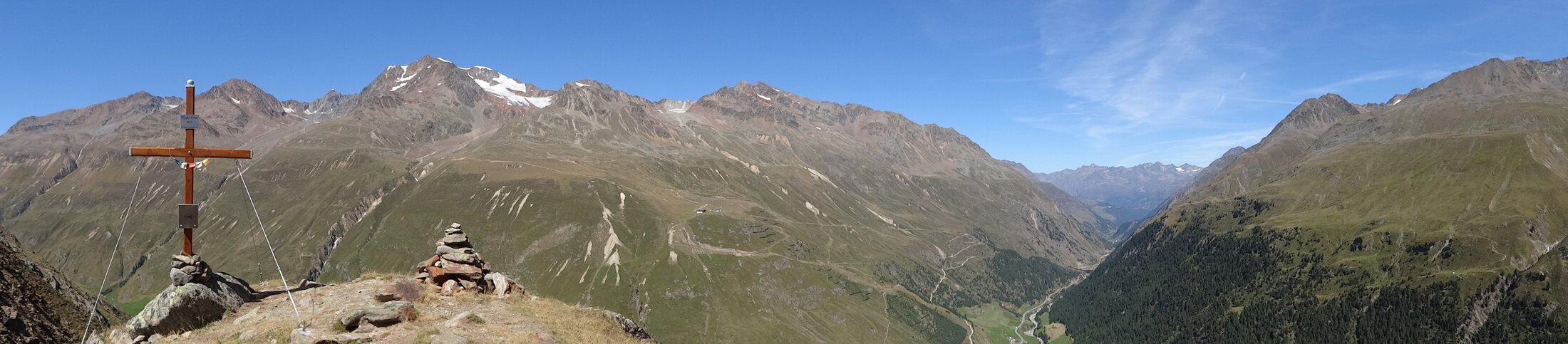
Above the tree line, follow the trail markers from the Hörnle. The gently descending path leads further into the valley, later passing through a steep gully (a narrow trail where sure-footedness and a head for heights are essential) and several smaller gullies. The route then continues through mountain pine forests to the Niedertalalm.
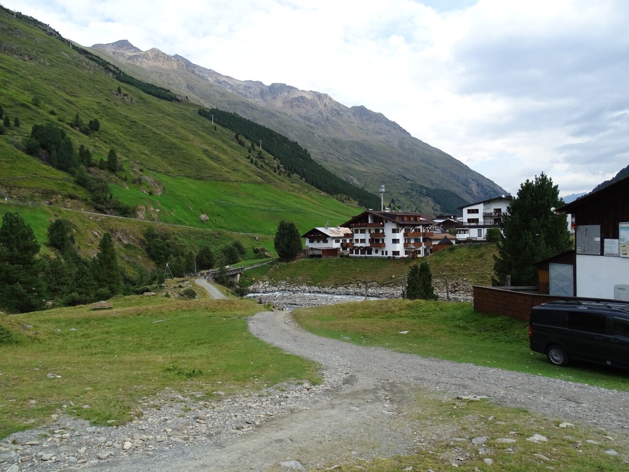
For the return journey, follow the wide trail back to Vent.
Map & elevation profile
The Tour
Above the tree line, follow the trail markers from the Hörnle. The gently descending path leads further into the valley, later passing through a steep gully (a narrow trail where sure-footedness and a head for heights are essential) and several smaller gullies. The route then continues through mountain pine forests to the Niedertalalm.
For the return journey, follow the wide trail back to Vent.
Regions & Places
Mountain areas
Details
Characteristics
Way types
Hiking difficulty
Recommended literature
Local information Vent / available at Information Vent
Recommended maps
Kompass #43 | Ötztal Alps, Ötztal, Pitztal | 1:50,000
Freytag & Bernd WK 251 | Ötztal, Pitztal, Kaunertal, Wildspitze | 1:25,000
Kompass | Bike & hiking map Ötztal | 1:35,000
Directions
Above the tree line, follow the trail markers from the Hörnle. The gently descending path leads further into the valley, later passing through a steep gully (a narrow trail where sure-footedness and a head for heights are essential) and several smaller gullies. The route then continues through mountain pine forests to the Niedertalalm.
For the return journey, follow the wide trail back to Vent.
Arrival
Public transit
Getting there
Parking
- In summer, in front of the village (parking meter, coins or EC card only) and at the valley station of the chairlift (at the cash desk of the mountain railways)
- In winter, only at the valley station of the chairlift.
Paid parking.
Current information
slightly changeable
Warm – Frost line at 3,000 m