

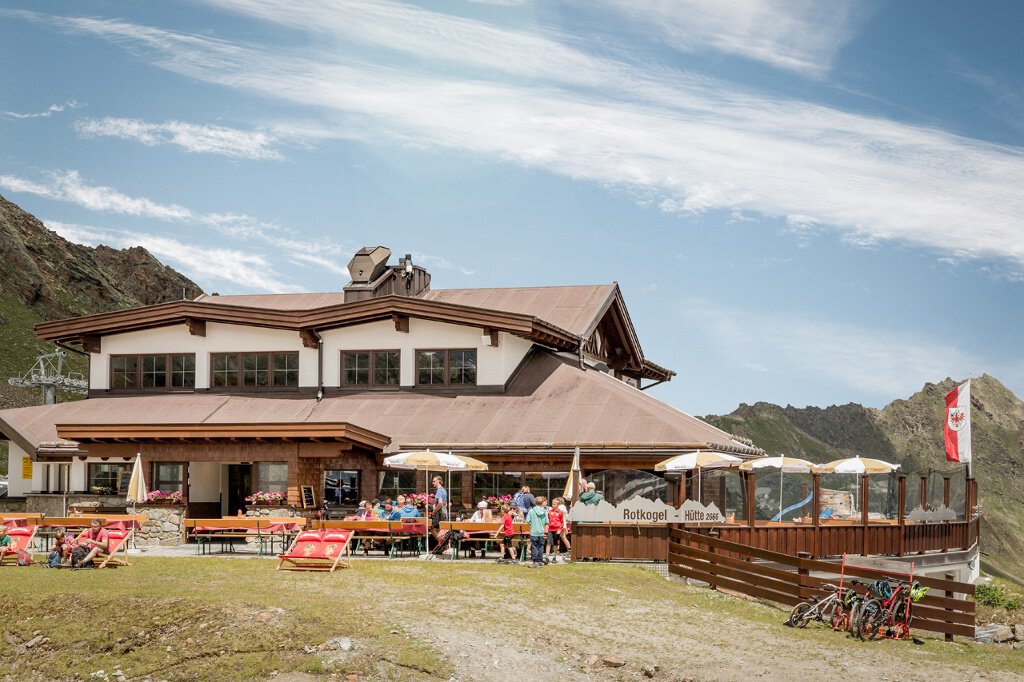


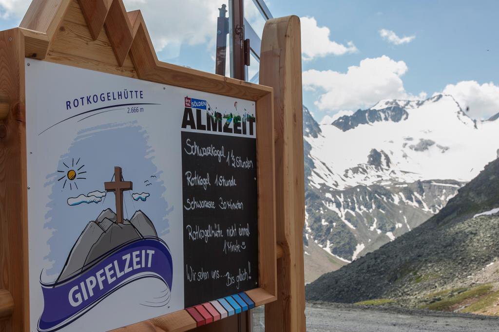


Rotkoglhütte
Map & elevation profile
The Tour
You can also take the glacier bus to the Rettenbachalm or to the Rettenbach glacier and hike from there to the Rotkoglhütte.
Enjoy the view on the surrounding peaks, especially on Tyrol's highest mountain, the Wildspitze (3,774 m), or dare to take a tour on top of the Rotkogel (2,948 m) or the Schwarzkogel (3,016 m).
With almost 1.5 hours of ascent time, it could be described as the “easiest” 3,000-meter peak in Sölden. Past the idyllic Schwarzsee, the tour is sure to be an experience for everyone.
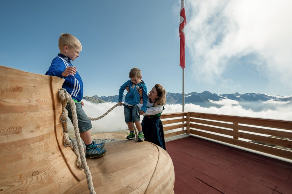
At the Rotkoglhütte our little visitors are in good hands on the playground with giant climbing shoes, slides, sandpit, etc. and who can say that they jumped on a trampoline at 2,666 m?
For not so nice weather we have prepared toys in our rooms. In the immediate surrounding of the hut is the “Maria Schnee” chapel, which is open to all visitors.
Regions & Places
Mountain areas
Details
Characteristics
Way types
Safety guidelines
Please pay attention to the current weather report: https://www.oetztal.com/de/sommer.html
Additional information
Recommended literature
Recommended maps
Directions
Option 2: From the Rettenbach glacier over the Schwarzsee to the Rotkogelhütte. Walking time approx. 2 hours
Arrival
Public transit
Starting point
Getting there
Parking
- Parking lot Postplatz
- parking lot Stiegele
- stair parking
- Giggijochbahn + underground garage
- Gaislachkoglbahn + underground garage
- Parking Hochsölden
- parking garage Hochsölden 1. parking lot
All parking is free during the day.
Parking for several days (eg hike tour):
- Parkgarage Gaislachkoglbahn, Parkticket either online or directly at the cash desk of the Gaislachkoglbahn
Equipment