


Panorama Restaurant and WIDIVERSUM Hochoetz
Map & elevation profile
The Tour
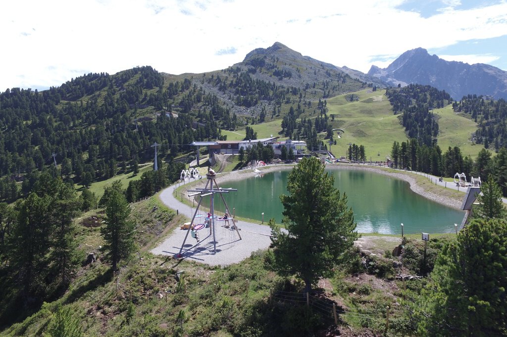
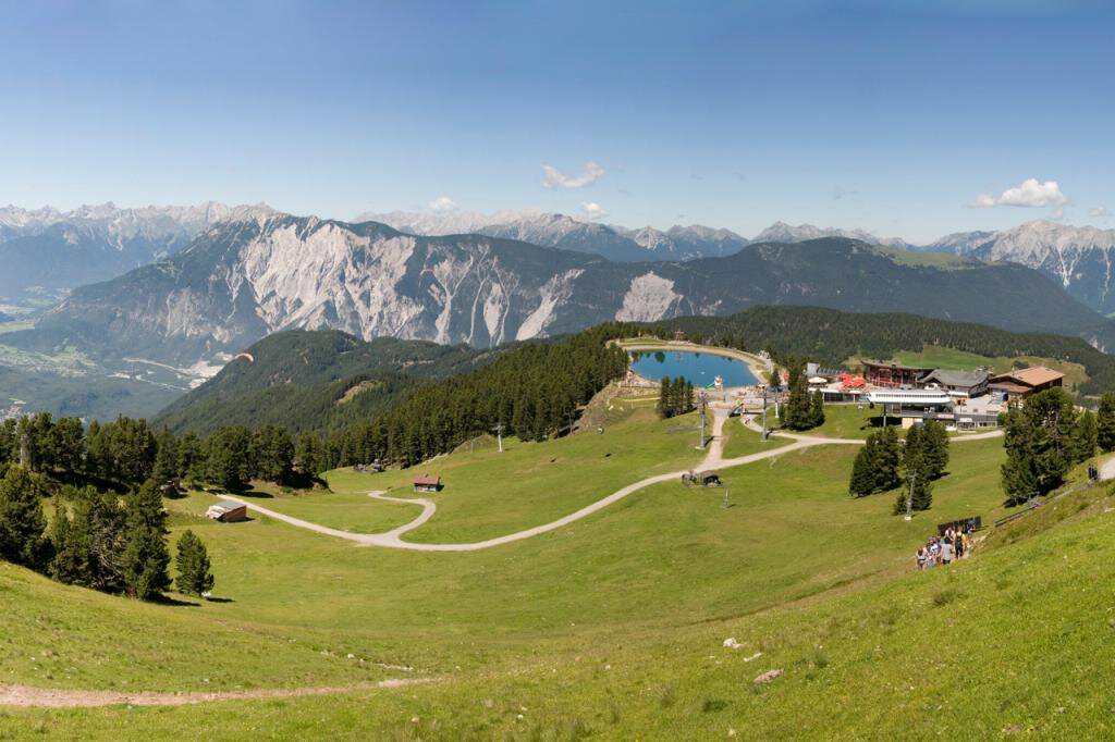
Directly located at the top station of the Acherkogel cable car. The panorama restaurant is a good starting point for relaxing family hikes in the Hochoetz alpine pasture region.
The WIDIVERSUM family adventure land is located directly beneath the panorama restaurant and offers lots of fun for little hikers. While the parents enjoy the sun, the little ones help the mascot WIDI search for the magic crystal.
A wild ride in WIDIs MOVIESHUTTLE (5D cinema - duration approx. 10 minutes) completes the mountain experience!
The ascent to the panorama restaurant Hochoetz is also possible on foot. However, the path is very steep and not suitable for small children. About 1,200 meters in altitude have to be covered in approximately 2.5-3 hours.
Admission to WIDIVERSUM is free!
WIDIs MOVIESHUTTLE - the virtual 5D adventure right at the panorama restaurant! Tickets available on site!
Regions & Places
Mountain areas
Details
Characteristics
Way types
Safety guidelines
Additional information
More information about hiking in the Ötztal: https://www.oetztal.com/wandern
Recommended maps
Directions
Directly located at the top station of the Acherkogel cable car. The panorama restaurant is a good starting point for relaxing family hikes in the Hochoetz alpine pasture region.
The WIDIVERSUM family adventure land offers lots of fun for little hikers.
Arrival
Public transit
Travel comfortably and safely by train to the Ötztal train station. The final stop or exit point is the ÖTZTAL train station. From there, you can conveniently and quickly continue by public bus service or local taxi companies through the entire valley to your desired destination! The current bus timetable is available at: http://fahrplan.vvt.at
Starting point
Getting there
Parking
The following parking options are available:
- Parking lot Acherkogel cable car (fees apply)
- Parking lot rafting entry point (at the end of Oetz on the right side) (fees apply)
- Central parking lot Oetz (fees apply)
- Overnight parking during multi-day routes: Central parking lot Oetz, tickets available at the Oetz information office.
- When taking the Ochsengarten gondola, free parking is available in Ochsengarten
Current information
Midsummer-like hot
Equipment
It is recommended to wear hiking equipment such as breathable and weather-appropriate outdoor clothing, ankle-high hiking boots, wind, rain and sun protection, a hat, and possibly gloves! It is also important to bring enough provisions as well as a first aid kit, a mobile phone, and possibly a hiking map.