Hiking Trailrecommended route

Oetz - Piburger See - Oetz

Hiking Trail · Oetz
LogoÖtztal
Responsible for this content
Ötztal Verified partner 
  • Piburger See
    Piburger See

Selected alternatives for you

    OETZ -> Piburger See -> Wellerbrücke -> OETZ

    moderate
    Distance 7 km
    2:30 h
    465 m
    465 m
    959 m
    776 m
    The starting point is the central car park in Oetz. Follow the Ötztaler Ache upstream to the Brandach bridge/rafting entry point. Cross the bridge and follow the meadow path and a little later the hiking trail past the small chapel up to Piburger See. Circle the lake. Return on the wide forest road to the fork at "Wellerbrücke". Here take the hiking trail and cross the bridge. Stroll back along the Ötztaler Ache to Oetz.

    Author’s recommendation

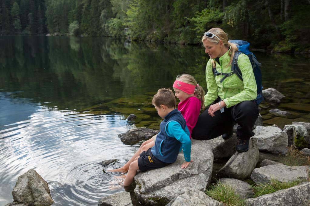
    The Piburger See is the warmest natural bathing lake in Tyrol, with temperatures up to 24°C.

    Profile picture of Ötztal Tourismus Büro Oetz
    Author
    Ötztal Tourismus Büro Oetz
    LogoÖtztal
    Responsible for this content
    Ötztal  Verified partner 
    Difficulty
    moderate
    Overall difficulty
    moderate

    Derived from the technical difficulty and the stamina requirements.

    Experience
    Landscape
    Highest point
    959 m
    Lowest point
    776 m
    Best time of year
    Jan
    Feb
    Mar
    Apr
    May
    Jun
    Jul
    Aug
    Sep
    Oct
    Nov
    Dec

    Track types

    Show elevation profile

    Rest stops

    Gasthaus Seehäusl am Piburger See
    Restaurant at Lake Piburger See

    Safety information

    Easy hiking trail; suitable for beginners and walkers. Please check the current weather report at: https://www.oetztal.com/de/sommer.html

    Tips and suggestions

    More info about hiking in the Ötztal: https://www.oetztal.com/wandern 

    Public transport

    Travel comfortably and safely by train to the Ötztal train station. The final stop or exit point is ÖTZTAL station. Afterwards, you can conveniently and quickly travel through the entire valley to your desired destination by public transport or local taxi services! The current bus timetable is available at: http://fahrplan.vvt.at

    Directions

    Car journey to ÖTZTAL. Located in Tyrol, the ÖTZTAL branches off to the south as the longest side valley of the Eastern Alps. Traveling by car takes visitors over the Inn valley to the valley entrance and continues along the Ötztal. Besides the toll motorway, country roads can also be used. Your trip can be planned quickly and conveniently with the route planner: To the route planner: https://www.google.at/maps 

    Parking

    The following parking options are available:

    • Central car park Oetz (subject to charge)

    • Parking lot Acherkogelbahn – (subject to charge)
    • Parking lot Rafting entry point (at the end of Oetz on the right side) (subject to charge)
    • Overnight parking during multi-day tours: Central car park Oetz, tickets are available at the Oetz information office

    Coordinates

    DD
    47.202675, 10.897470
    DMS
    47°12'09.6"N 10°53'50.9"E
    UTM
    32T 643707 5229433
    w3w 
    ///dimness.versatile.slavish
    Get there by train, car, bike, or on foot!

    Author’s map recommendations

    Kompass #043 | Ötztaler Alpen Ötztal, Pitztal | 1:50,000

    Equipment

    Appropriate equipment such as breathable and weather-appropriate outdoor clothing, ankle-high hiking boots, wind, rain and sun protection, hat, possibly gloves, is required for all hikes and routes. Carrying a first aid kit, a mobile phone and possibly a hiking map, as well as sufficient provisions for hikes without refreshment options is necessary.


    Localization

    Parts of this content were machine translated using German as the source language

    Similar routes nearby

    • "9 Treasures" Habicher Lake
    • "9 Treasures" Ebele
    • "9 treasures" Hexenplatte
    • Armelen Hut
    • E BIKE - HIKE - CLIMB Rosskopf round 1600 m elevation gain!
     These suggestions were generated by our system
    Difficulty
    moderate
    Overall difficulty
    moderate

    Derived from the technical difficulty and the stamina requirements.

    Distance
    7 km
    Duration
    2:30 h
    Ascent
    465 m
    Descent
    465 m
    Highest point
    959 m
    Lowest point
    776 m
    Round trip Scenic Refreshment stops available Family-friendly Geological highlights

    Statistics

    • Content
    • Show images Hide images
    Features
    Maps and trails
    Nothing selected - click and drag in the elevation profile to zoom
    Distance
    Duration
    Ascent
    Descent
    Elevation profile