


Mountain tour with Michi Wohlleben
Description
Vent -> Similaun Hut -> Hohlaub Joch (Ötzi discovery site) -> Finailspitze -> Hochjoch Hospice -> Fluchtkogel or Guslar Spitze -> Vernagt Hut -> Optional: Wildspitze -> Brochkogeljoch -> Mitterkarjoch -> Vent
Map & elevation profile
The Tour
Vent -> Similaun Hut -> Hohlaub Joch (Ötzi discovery site) -> Finailspitze -> Hochjoch Hospice -> Fluchtkogel or Guslar Spitze -> Vernagt Hut -> Optional: Wildspitze -> Brochkogeljoch -> Mitterkarjoch -> Vent
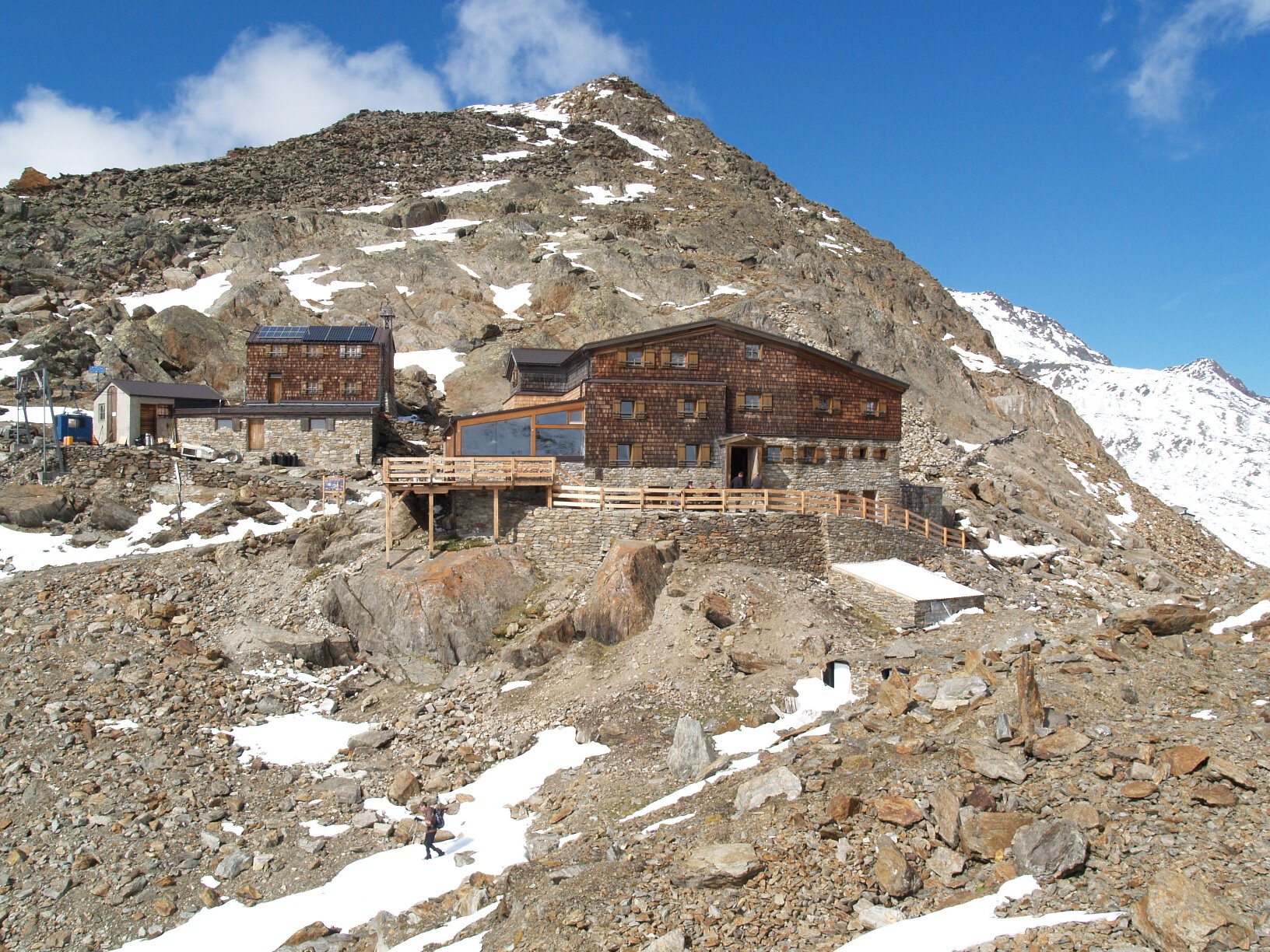
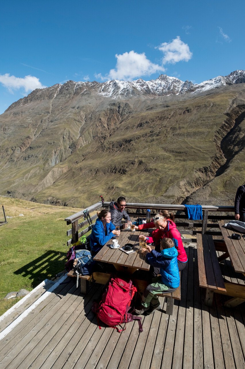
Day 1: ascent from Vent to the Similaun Hut
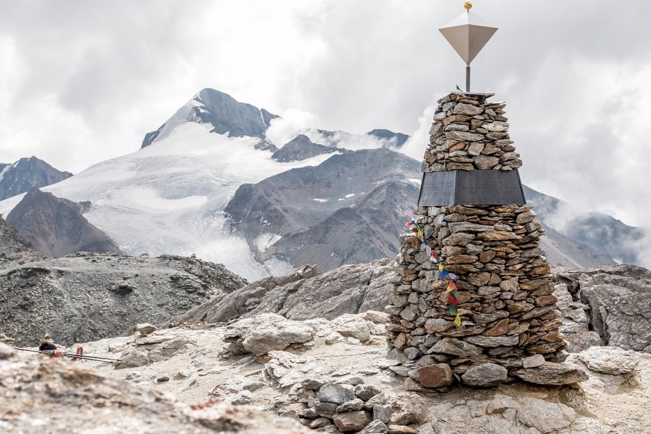
Day 2: from the Similaun Hut via the Hohlaub Joch - Ötzi discovery site | optional ascent to the Finailspitze - to the Hochjoch Hospice
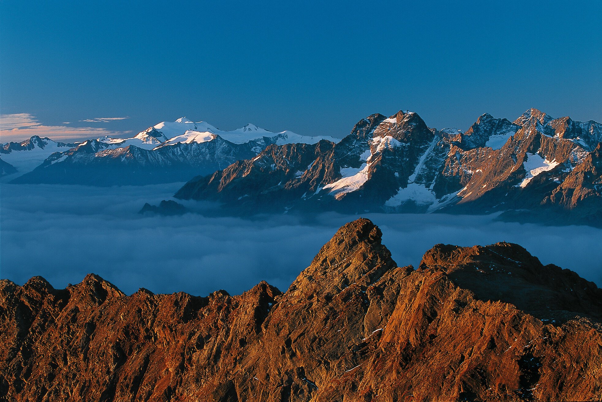
Day 3 - option 1: via the Fluchtkogel to the Vernagt Hut
Day 3 - option 2: via the Guslar Spitze to the Vernagt Hut
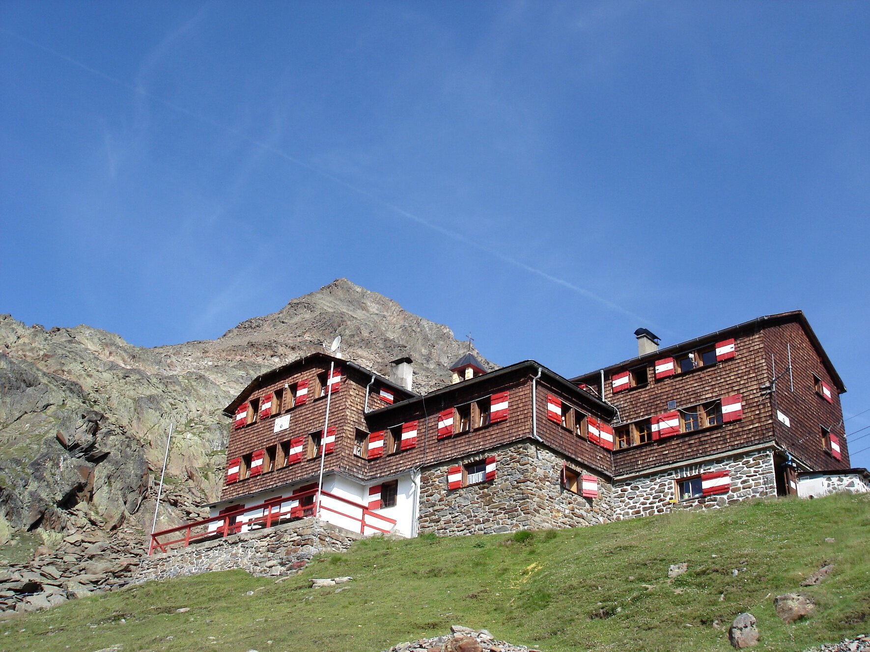
Day 4: continue via the Brochkogeljoch. Descent via the Mitterkarjoch to the Breslau Hut. Return by chairlift to Vent.
Day 4 - optional: ascent to the Wildspitze
Regions & Places
Mountain areas
Details
Characteristics
Way types
Safety guidelines
Suitable for sure-footed and experienced mountain hikers. Good physical condition, mountain experience, and mountain equipment (see under equipment) are necessary. Please check the current weather report at: https://www.oetztal.com/de/sommer.html
Additional information
More information about hiking in the Ötztal: https://www.oetztal.com/wandern
Directions
Day 1: ascent from Vent to the Similaun Hut
Day 2: from the Similaun Hut via the Hohlaub Joch - Ötzi discovery site | optional ascent to the Finailspitze - to the Hochjoch Hospice
Day 3 - option 1: via the Fluchtkogel to the Vernagt Hut
Day 3 - option 2: via the Guslar Spitze to the Vernagt Hut
Day 4: continue via the Brochkogeljoch. Descent via the Mitterkarjoch to the Breslau Hut. Return by chairlift to Vent.
Day 4 - optional: ascent to the Wildspitze
Arrival
Public transit
Travel comfortably and safely by train to the Ötztal train station. The final stop and exit point is the ÖTZTAL station. Afterwards, you can conveniently and quickly travel through the entire valley to your desired destination by public bus or local taxi services. The current bus schedule is available at: http://fahrplan.vvt.at
Starting point
Getting there
The car journey to ÖTZTAL. Located in Tyrol, the ÖTZTAL branches southward as the longest side valley of the Eastern Alps. Car travelers head over the Inn Valley up to the valley entrance and continue along the Ötztal valley. Besides the toll motorway, country roads can also be used. You can quickly and comfortably plan your trip with a route planner here: Route planner: https://www.google.at/maps
Parking
In the mountaineer village of Vent, the following parking options are available.
- In summer, in front of the village (parking meter, coins or EC card only) and at the valley station of the chairlift (at the ticket office of the mountain railways)
- In winter, only at the valley station of the chairlift.
Cost: € 5.00 per day/car
Current information
Midsummer-like hot
The tour is within these protected areas.
Equipment
Appropriate equipment such as breathable and weather-appropriate outdoor clothing, ankle-high hiking boots, wind, rain and sun protection, a hat, and possibly gloves, is required for all hikes and routes. Carrying a first-aid kit, a mobile phone, and possibly a hiking map, as well as sufficient provisions for hikes without opportunities to stop for food, is necessary.