


Maisalm
Description
Map & elevation profile
The Tour
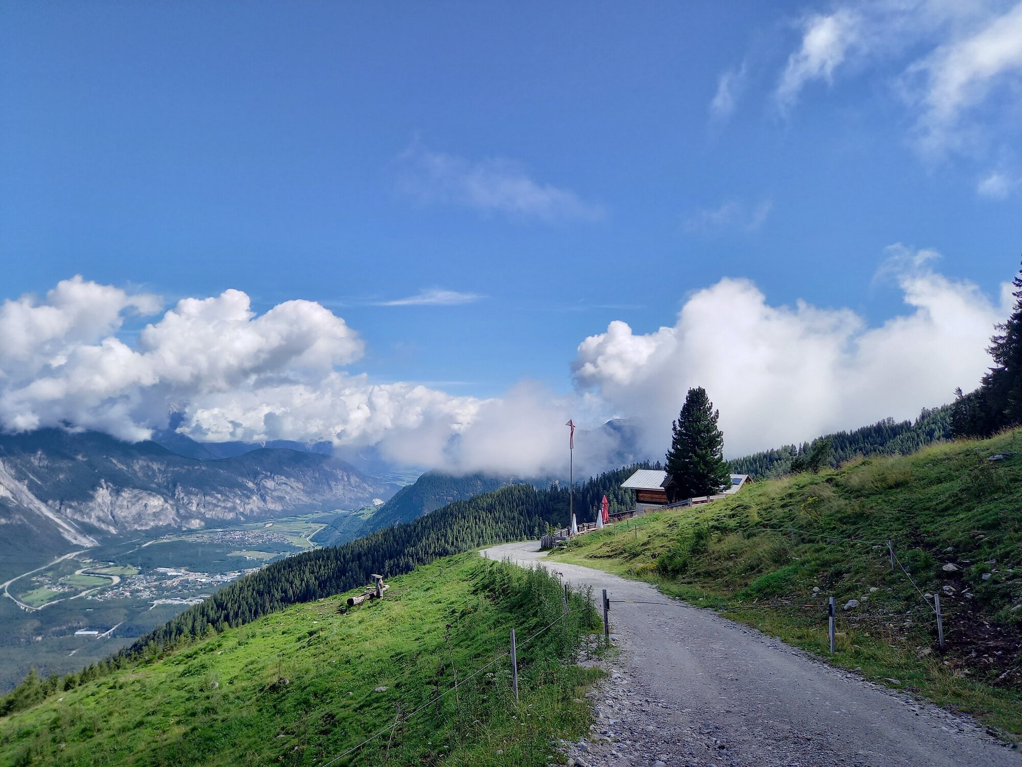
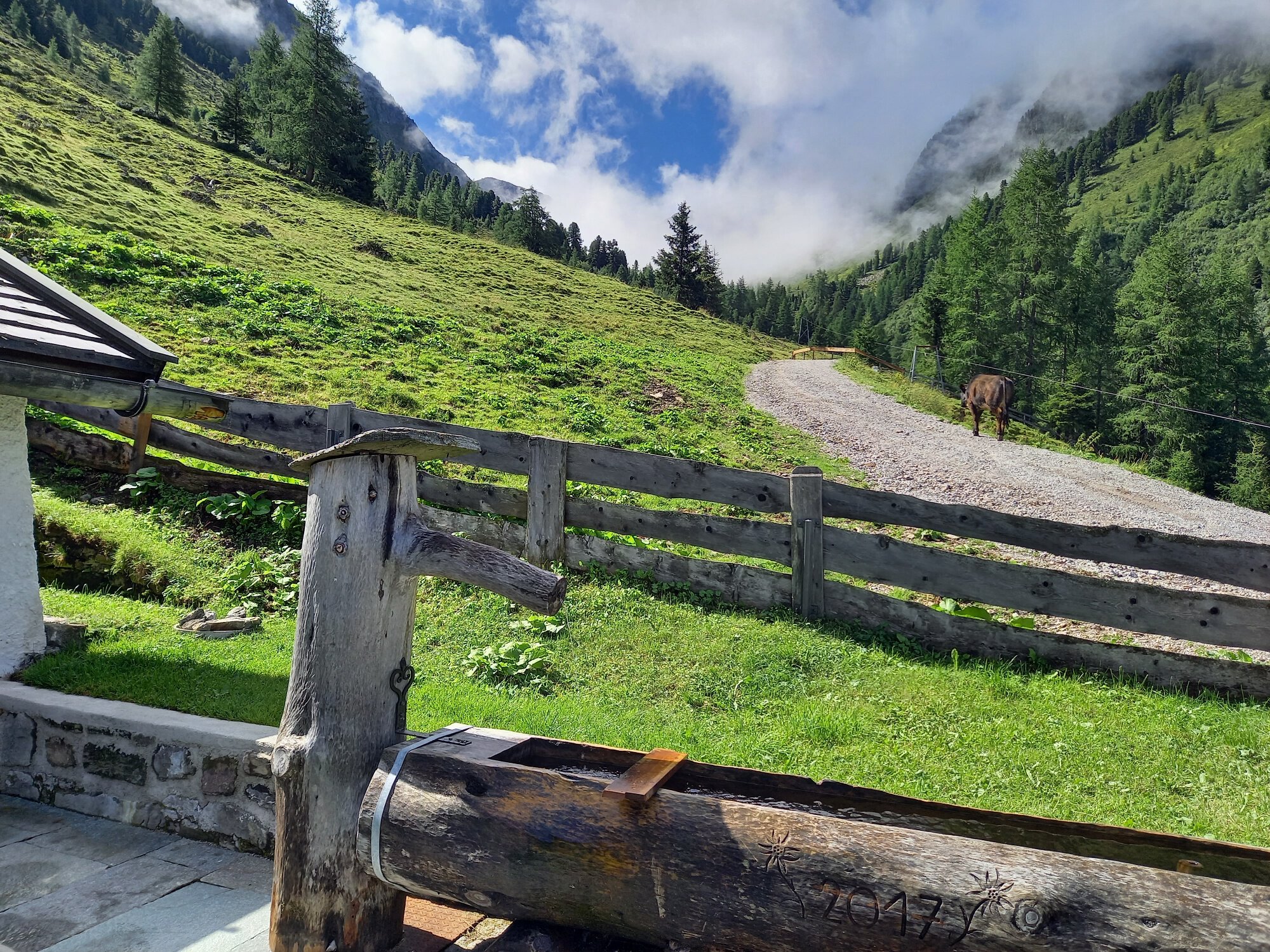
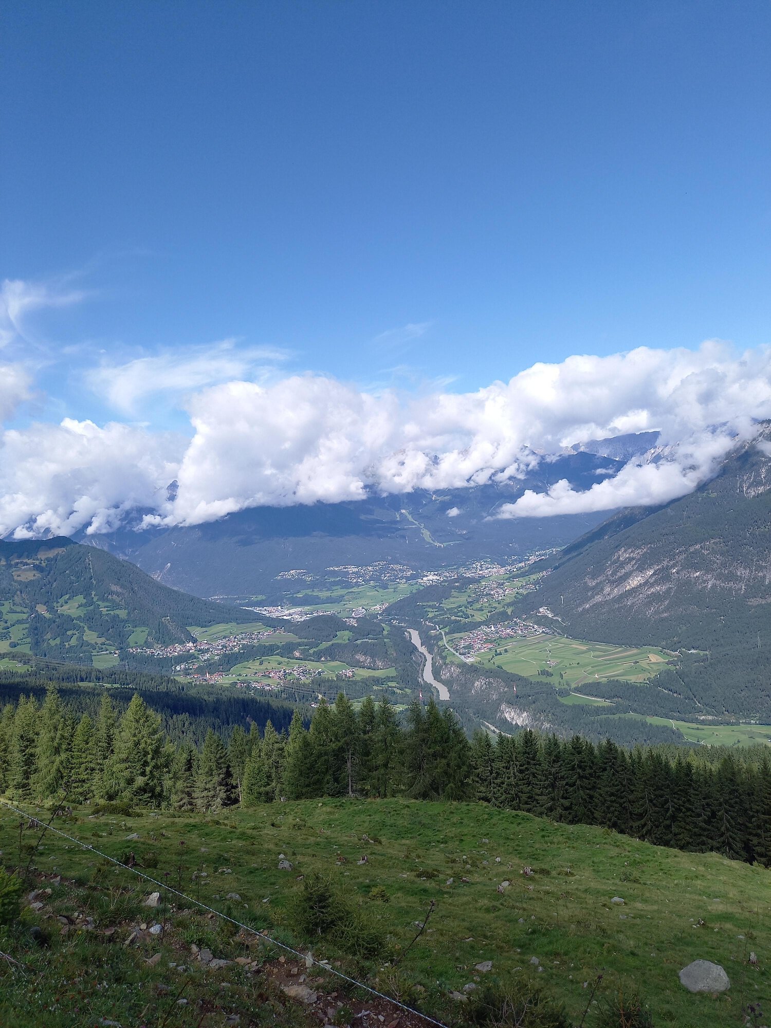
From the Sautens church, you walk leisurely to the Three Churches View and further to the barbecue area "Goaßtalbrunnen". Follow the forest road in switchbacks through the forest to the junction towards Maisalm. The beautiful forest path passes by the Reichenbachalm (not operated) to the Maisalm. At the pasture, you will be rewarded for the ascent with a wonderful view of the Inn Valley, Roppen, and the Pitztal.
Visit the viewing platform "3-Churches-View" and enjoy the view of the churches of Sautens, Oetz, and Oetzerau
Regions & Places
Mountain areas
Details
Characteristics
Way types
Safety guidelines
Additional information
Recommended maps
Directions
From the church to the Three Churches View on the forest road in switchbacks up to the Maisalm junction. Through the forest to the Reichenbachalm (not operated) and continue on to the Maisalm.
Arrival
Public transit
Travel comfortably and safely by train to the Ötztal station. The final stop or exit point is the ÖTZTAL station. Then travel comfortably and quickly with public transport or local taxi companies throughout the valley! The current bus schedule is available at: http://fahrplan.vvt.at
For all aviation fans, Innsbruck Airport is connected by daily scheduled flights directly to destinations across Europe. Additionally, numerous charter flights are operated. A comfortable and time-saving journey is guaranteed. More information for your flight search at: https://www.checkfelix.com/
Starting point
Getting there
Parking
The following parking options are available in Sautens:
- directly in front of the community center - free of charge
- right after the large bridge (junction from the B186) on the large gravel parking lot - free of charge
- at the sports field / Cross Chapel / Kalkofen adventure facility - free of charge
- in front of the elementary school / kindergarten, 3-Churches-View path – free of charge
Current information
Later changeable
Mostly pleasantly warm