


Braunschweiger Hut
Map & elevation profile
The Tour
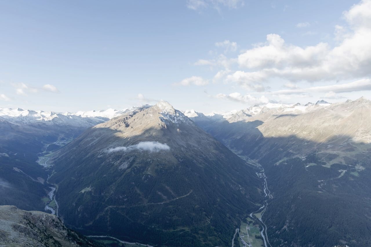
From the chapel at Rettenbach Glacier via hiking trail to the Pitztalerjoch parking lot. From there in early summer over scree and snowfield to the Pitztaler Joch. In late summer via forest road and then over marked snowfield and path to Rettenbachjoch. From the passes over a very beautiful hiking trail to the hut.
Regions & Places
Mountain areas
Details
Characteristics
Way types
Safety guidelines
Additional information
More info about hiking in the Ötztal: https://www.oetztal.com/wandern
Recommended maps
Freytag & Berndt map WK 251, 1:50,000
Alpine club map 30/6, 1:25,000
Alpine club map 30/5, 1:25,000
Austrian map 173, 1:50,000
Kompass map 43, 1:50,000
Directions
From the chapel at Rettenbach Glacier via hiking trail to the Pitztalerjoch parking lot. From there in early summer over scree and snowfield to the Pitztaler Joch. In late summer via forest road and then over marked snowfield and path to Rettenbachjoch. From the passes over a very beautiful hiking trail to the hut.
Arrival
Public transit
Travel comfortably and safely by train to the Ötztal train station. The final stop or exit is the ÖTZTAL station.
Then travel conveniently and quickly with public transport or the local taxi companies through the entire valley to your desired destination.
The current bus schedule is available at: http://fahrplan.vvt.at
Starting point
Getting there
Car drive to ÖTZTAL.
Located in Tyrol, the ÖTZTAL branches off to the south as the longest side valley of the Eastern Alps.
Arrival by car leads visitors via the Inn valley to the valley entrance and further along the Ötztal.
Besides the toll motorway, country roads can also be used.
With the route planner, your drive can be determined quickly and conveniently: For the route planner: https://www.google.at/maps
Parking
The following parking options are available in Sölden:
- Postplatz parking lot
- Stiegele parking lot
- Tiered parking lot
- Giggijochbahn + underground garage
- Gaislachkoglbahn + underground garage
The parking lots are subject to fees.
For parking over several days (e.g., hut route):
- Parking ticket either online or directly at the Gaislachkoglbahn cashier
Current information
Midsummer-like hot
Equipment
Wearing hiking equipment such as breathable and weather-appropriate outdoor clothing, ankle-high mountain boots, wind, rain and sun protection, hat and possibly gloves is recommended! Also important is bringing sufficient provisions as well as a first aid kit, a mobile phone, and possibly a hiking map.