
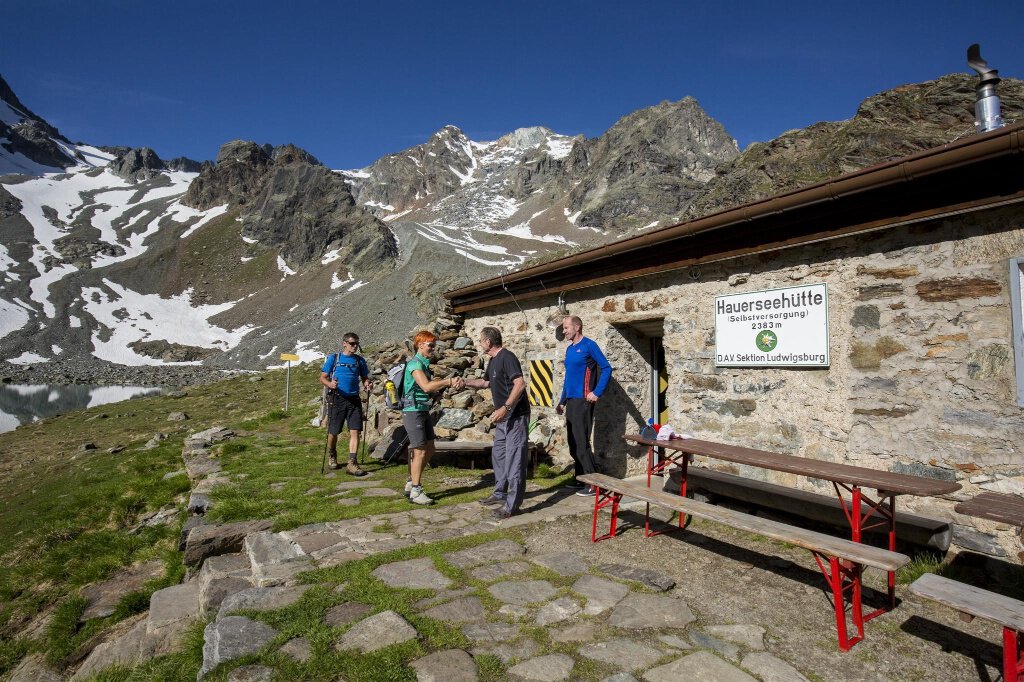

Hiking Trail
Alternativroute: Frischmannhütte zur Hauerseehütte über Köfels
Ötztal
Closed
Top
Hard
Yesterday · Conditions · Frischmannhütte -> Hauerseehütte wg. Murenabgang Umleitung All details
Key facts
6:15 h
Duration
14.93 km
Length
1186 m
Ascent
993 m
Descent
2,389 m
Max. altitude
1,404 m
Min. altitude
Best Season
Jan
Feb
Mar
Apr
May
Jun
Jul
Aug
Sep
Oct
Nov
Dec
Map & elevation profile
The Tour
Regions & Places
Austria (Country)
Tyrol (Province)
Bezirk Imst (District)
Ötztal (Tourism area)
Längenfeld (Commune)
Umhausen (Commune)
Mountain areas
Alps (Mountain area)
Ötztal Alps (Mountain area)
Modified at 06.08.2026 · Created at 06.08.2026
Details
Characteristics
Linear route
Way types
Hiking difficulty
Mountain hiking trail - may contain chain-secured and exposed sections. The path is not always visible. Sometimes you need your hands for balance. Sure-footedness and average orientation skills are required.
Arrival
Current information
Friday, 07.08.
Partial improvement
Afternoon showers
Afternoon showers
Morning
16 °C
20%
Rainfall risk
Afternoon
27 °C
60%
Rainfall risk
Saturday, 08.08.
Longer periods of sunshine
Rapid warming
Rapid warming
Morning
15 °C
0%
Rainfall risk
Afternoon
30 °C
30%
Rainfall risk
Yesterday · Conditions · Frischmannhütte -> Hauerseehütte wg. Murenabgang Umleitung
since August 06, 2026